
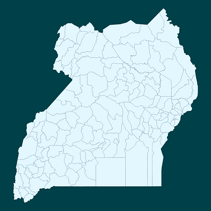
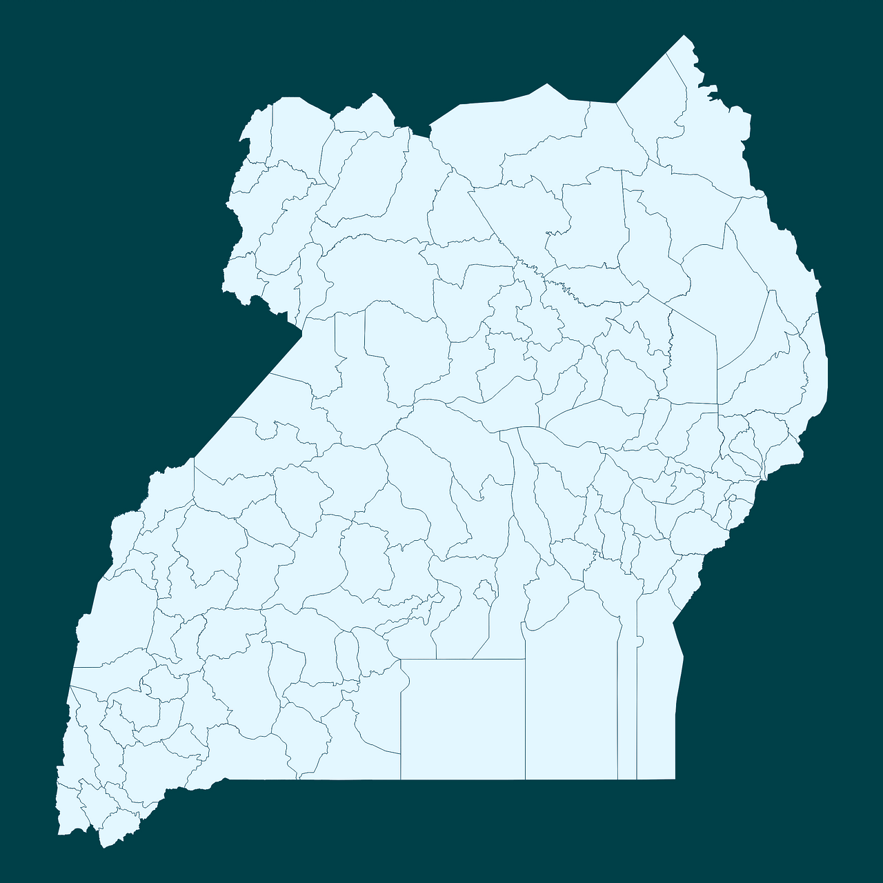
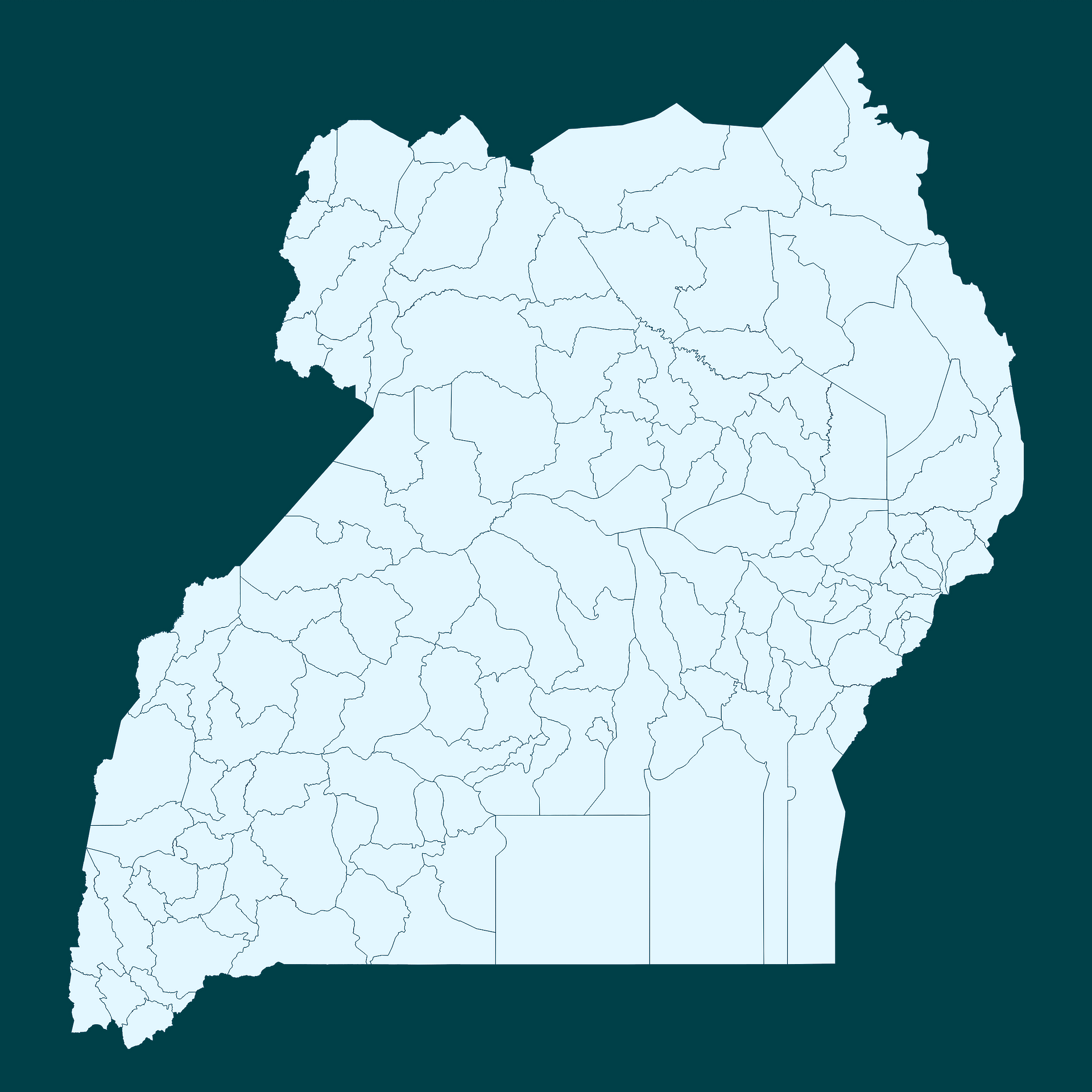
Map #520710
Download map
PNG format
Full (2560x2560)
SVG format
Scalable vector (any size)
Licence
 Licenced under a Creative Commons Attribution 4.0 International Licence
Free to copy and distribute.
Free for commercial and non-commercial use, but you must credit.
Attribution example:
Image source: SuperMap.World
Unlock this map
Access high definition downloads and full-use licence (no attribution required).
Description
Mercator projection map of Uganda in whitened-sky and dark powder
Projection
Location
Similar

#37430🇺🇬 Uganda

#59722🇺🇬 Uganda

#179954🇺🇬 Uganda

#505158🇺🇬 Uganda

#525150🇺🇬 Uganda

#553376🇺🇬 Uganda

#592428🇺🇬 Uganda
#680126🇺🇬 Uganda