
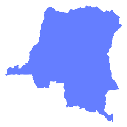
Map #528963
Download map
PNG format
Full (2560x2560)
SVG format
Scalable vector (any size)
Licence
 Licenced under a Creative Commons Attribution 4.0 International Licence
Free to copy and distribute.
Free for commercial and non-commercial use, but you must credit.
Attribution example:
Image source: SuperMap.World
Unlock this map
Access high definition downloads and full-use licence (no attribution required).
Description
Mercator projection map of Democratic Republic of the Congo in indigo on transparent background
Projection
Location
Similar

#1383🇨🇩 Congo (Dem. Rep.)

#11115🇨🇩 Congo (Dem. Rep.)

#42824🇨🇩 Congo (Dem. Rep.)

#348582🇨🇩 Congo (Dem. Rep.)

#394609🇨🇩 Congo (Dem. Rep.)

#552213🇨🇩 Congo (Dem. Rep.)

#663443🇨🇩 Congo (Dem. Rep.)

#771403🇨🇩 Congo (Dem. Rep.)