
Map #534894
Download map
PNG format
Full (2560x2560)
SVG format
Scalable vector (any size)
Licence
 Licenced under a Creative Commons Attribution 4.0 International Licence
Free to copy and distribute.
Free for commercial and non-commercial use, but you must credit.
Attribution example:
Image source: SuperMap.World
Unlock this map
Access high definition downloads and full-use licence (no attribution required).
Description
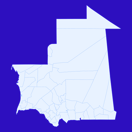
Mercator projection map of Mauritania showing mauritania boundaries in whitened-azure and dim indigo
Projection
Location
Data source
Similar
#79552🇲🇷 Mauritania

#258616🇲🇷 Mauritania

#288401🇲🇷 Mauritania

#355666🇲🇷 Mauritania

#501849🇲🇷 Mauritania

#587809🇲🇷 Mauritania

#604225🇲🇷 Mauritania

#621048🇲🇷 Mauritania