Map #541323
Download map
PNG format
Full (2560x1590)
SVG format
Scalable vector (any size)
Licence
 Licenced under a Creative Commons Attribution 4.0 International Licence
Free to copy and distribute.
Free for commercial and non-commercial use, but you must credit.
Attribution example:
Image source: SuperMap.World
Unlock this map
Access high definition downloads and full-use licence (no attribution required).
Description
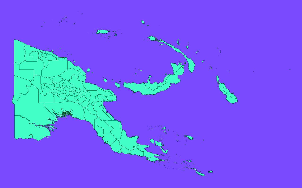
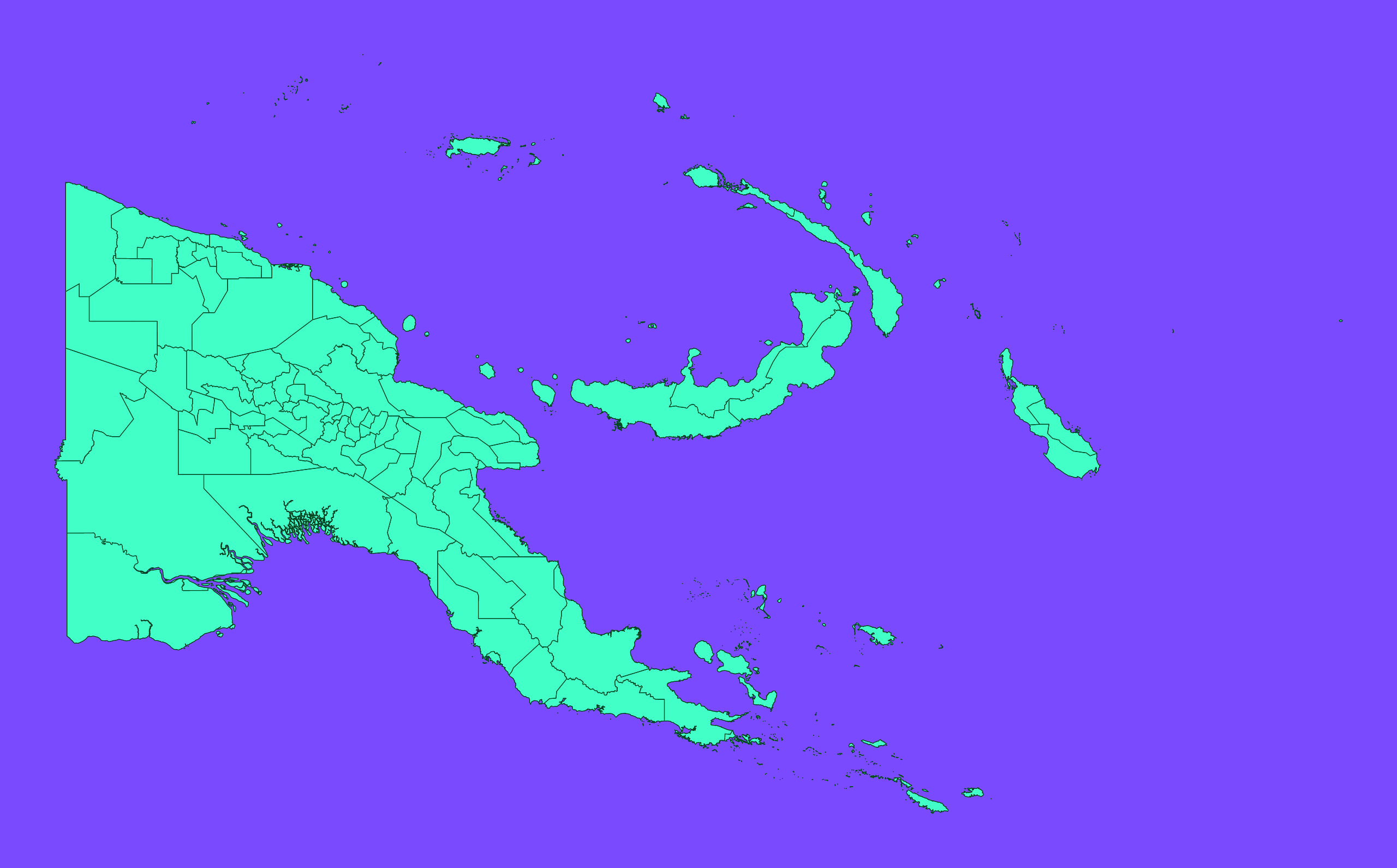
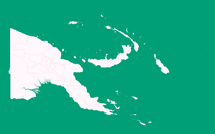
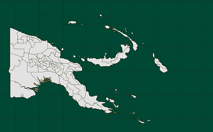
Mercator projection map of Papua New Guinea showing district boundaries in dim violet and dark emerald
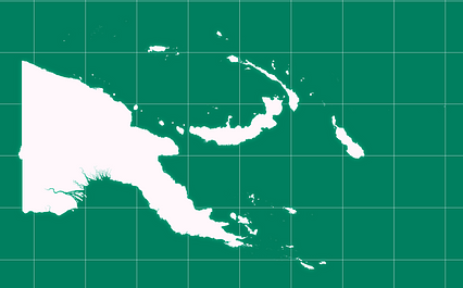
Projection
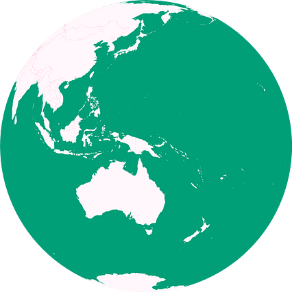
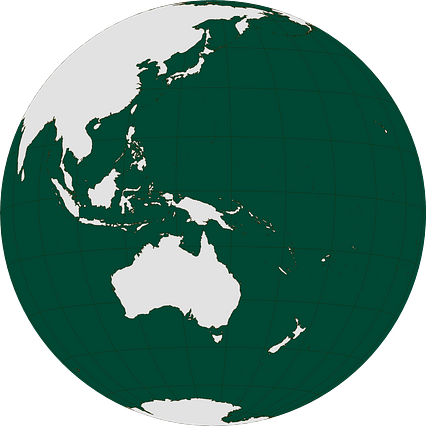
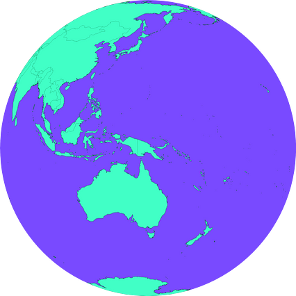
Location
Similar
#169019🇵🇬 Papua New Guinea

#280152🇵🇬 Papua New Guinea
#296661🇵🇬 Papua New Guinea

#331340🇵🇬 Papua New Guinea
#426797🇵🇬 Papua New Guinea
#475338🇵🇬 Papua New Guinea
#524547🇵🇬 Papua New Guinea
#610082🇵🇬 Papua New Guinea