
Map #545512
Download map
PNG format
Full (2560x2560)
SVG format
Scalable vector (any size)
Licence
 Licenced under a Creative Commons Attribution 4.0 International Licence
Free to copy and distribute.
Free for commercial and non-commercial use, but you must credit.
Attribution example:
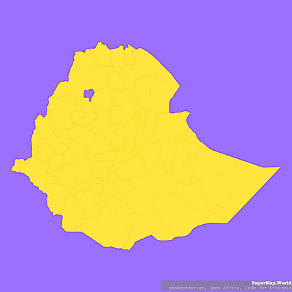
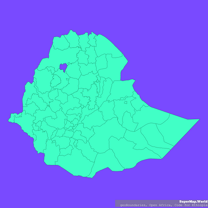
Image source: SuperMap.World
Unlock this map
Access high definition downloads and full-use licence (no attribution required).
Description
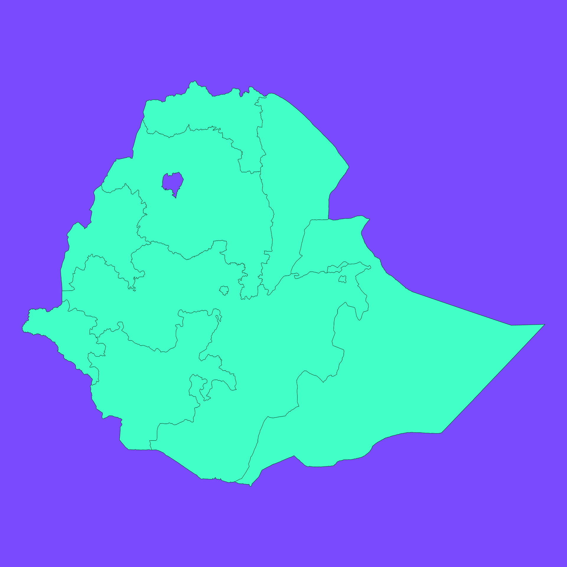
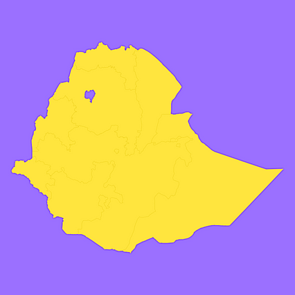
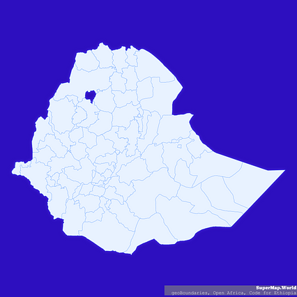
Mercator projection map of Ethiopia showing kilil and astedader boundaries in dim violet and dark emerald
Projection
Location
Data source
Similar
#42608🇪🇹 Ethiopia
#173284🇪🇹 Ethiopia

#197749🇪🇹 Ethiopia
#205459🇪🇹 Ethiopia
#237741🇪🇹 Ethiopia
#239397🇪🇹 Ethiopia
#381243🇪🇹 Ethiopia
#433056🇪🇹 Ethiopia