
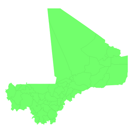
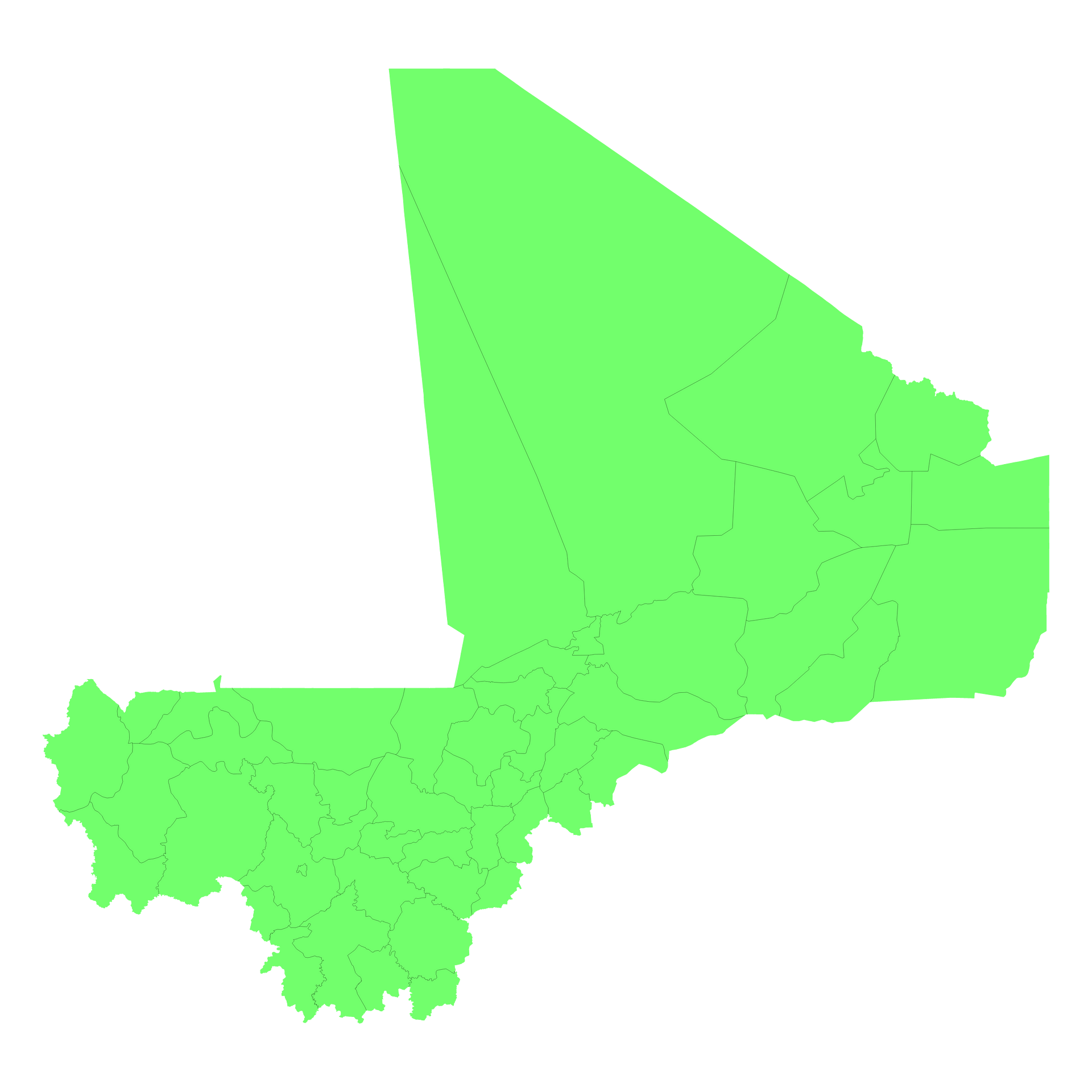
Map #555752
Download map
PNG format
Full (2560x2560)
SVG format
Scalable vector (any size)
Licence
 Licenced under a Creative Commons Attribution 4.0 International Licence
Free to copy and distribute.
Free for commercial and non-commercial use, but you must credit.
Attribution example:
Image source: SuperMap.World
Unlock this map
Access high definition downloads and full-use licence (no attribution required).
Description
Mercator projection map of Mali showing cercle boundaries in pastel green on transparent background
Projection
Location
Similar

#146527🇲🇱 Mali

#476533🇲🇱 Mali

#498127🇲🇱 Mali

#573269🇲🇱 Mali

#723619🇲🇱 Mali