
Map #563425
Download map
PNG format
Full (2560x2560)
SVG format
Scalable vector (any size)
Licence
 Licenced under a Creative Commons Attribution 4.0 International Licence
Free to copy and distribute.
Free for commercial and non-commercial use, but you must credit.
Attribution example:
Image source: SuperMap.World
Unlock this map
Access high definition downloads and full-use licence (no attribution required).
Description
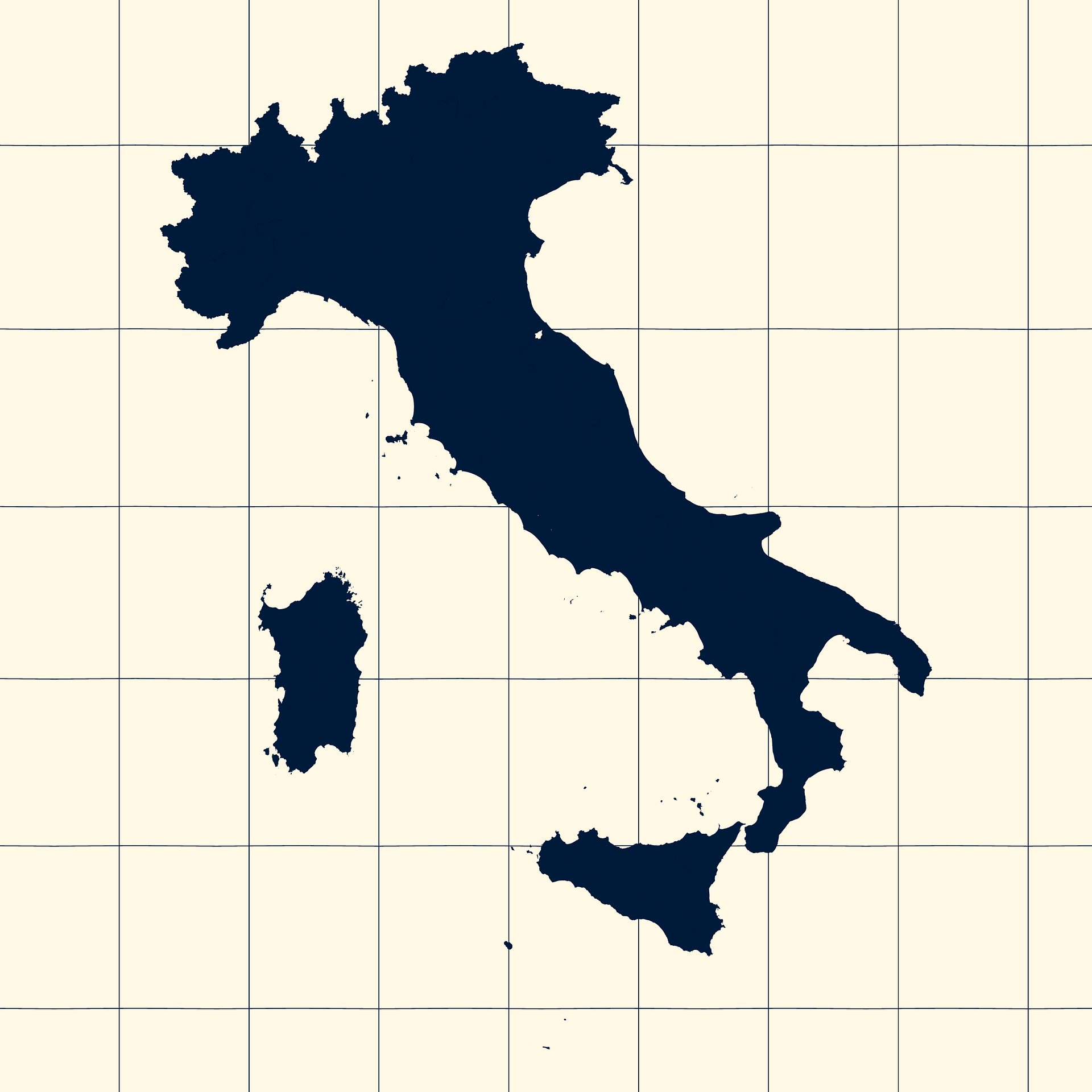
Mercator projection map of Italy showing province boundaries in night blue and whitened-beige
Projection
Location
Similar

#71366🇮🇹 Italy

#82871🇮🇹 Italy

#150798🇮🇹 Italy

#152384🇮🇹 Italy

#256918🇮🇹 Italy

#307565🇮🇹 Italy

#344861🇮🇹 Italy

#420981🇮🇹 Italy