
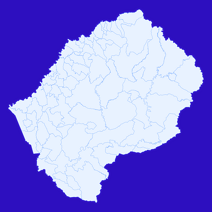
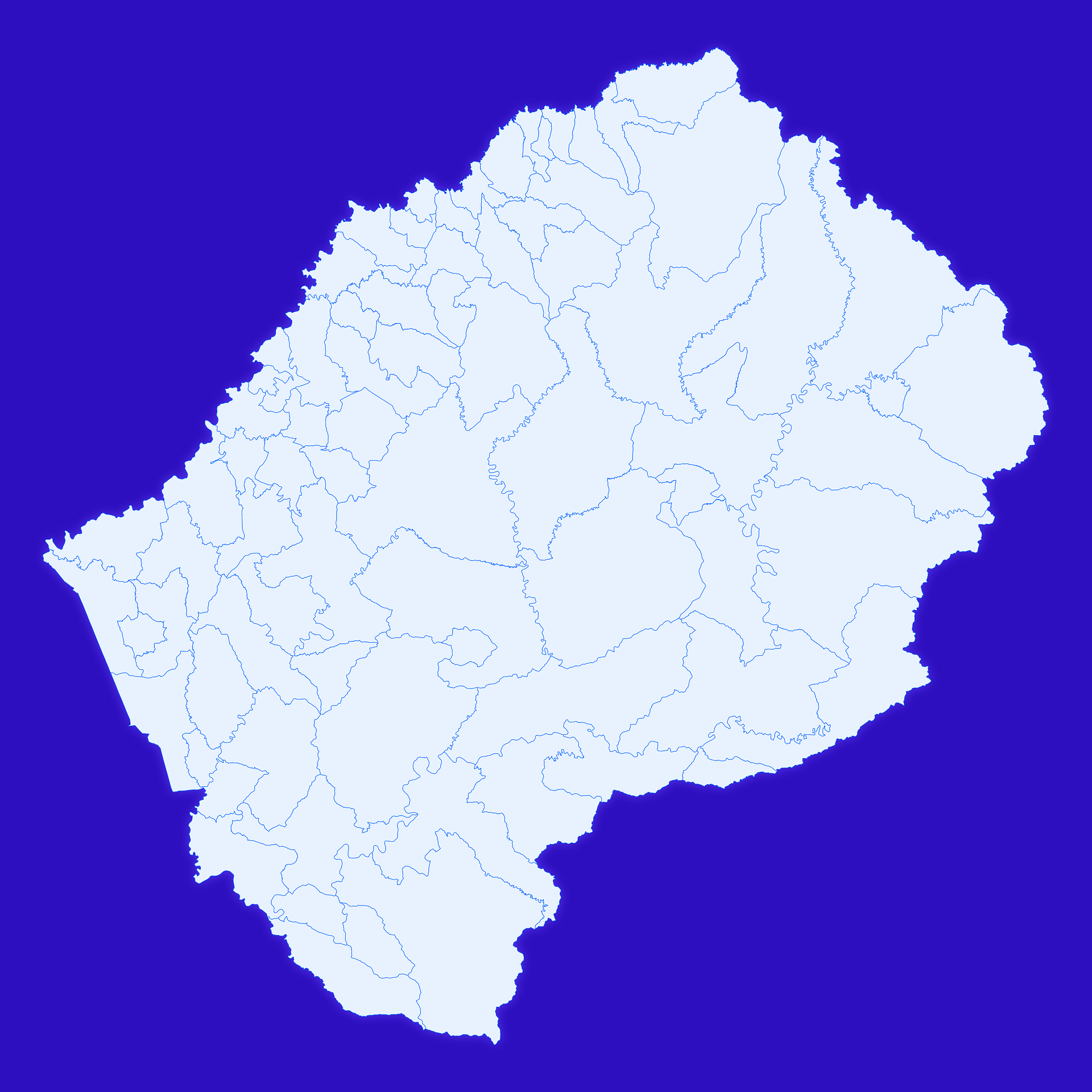
Map #569415
Download map
PNG format
Full (2560x2560)
SVG format
Scalable vector (any size)
Licence
 Licenced under a Creative Commons Attribution 4.0 International Licence
Free to copy and distribute.
Free for commercial and non-commercial use, but you must credit.
Attribution example:
Image source: SuperMap.World
Unlock this map
Access high definition downloads and full-use licence (no attribution required).
Description
Mercator projection map of Lesotho showing constituencies boundaries in whitened-azure and dim indigo
Projection
Location
Similar

#20173🇱🇸 Lesotho

#26707🇱🇸 Lesotho

#63257🇱🇸 Lesotho

#223542🇱🇸 Lesotho

#298322🇱🇸 Lesotho

#565392🇱🇸 Lesotho

#923763🇱🇸 Lesotho

#953789🇱🇸 Lesotho