Map #576202
Download map
PNG format
Full (2560x2560)
SVG format
Scalable vector (any size)
Licence
 Licenced under a Creative Commons Attribution 4.0 International Licence
Free to copy and distribute.
Free for commercial and non-commercial use, but you must credit.
Attribution example:
Image source: SuperMap.World
Unlock this map
Access high definition downloads and full-use licence (no attribution required).
Description
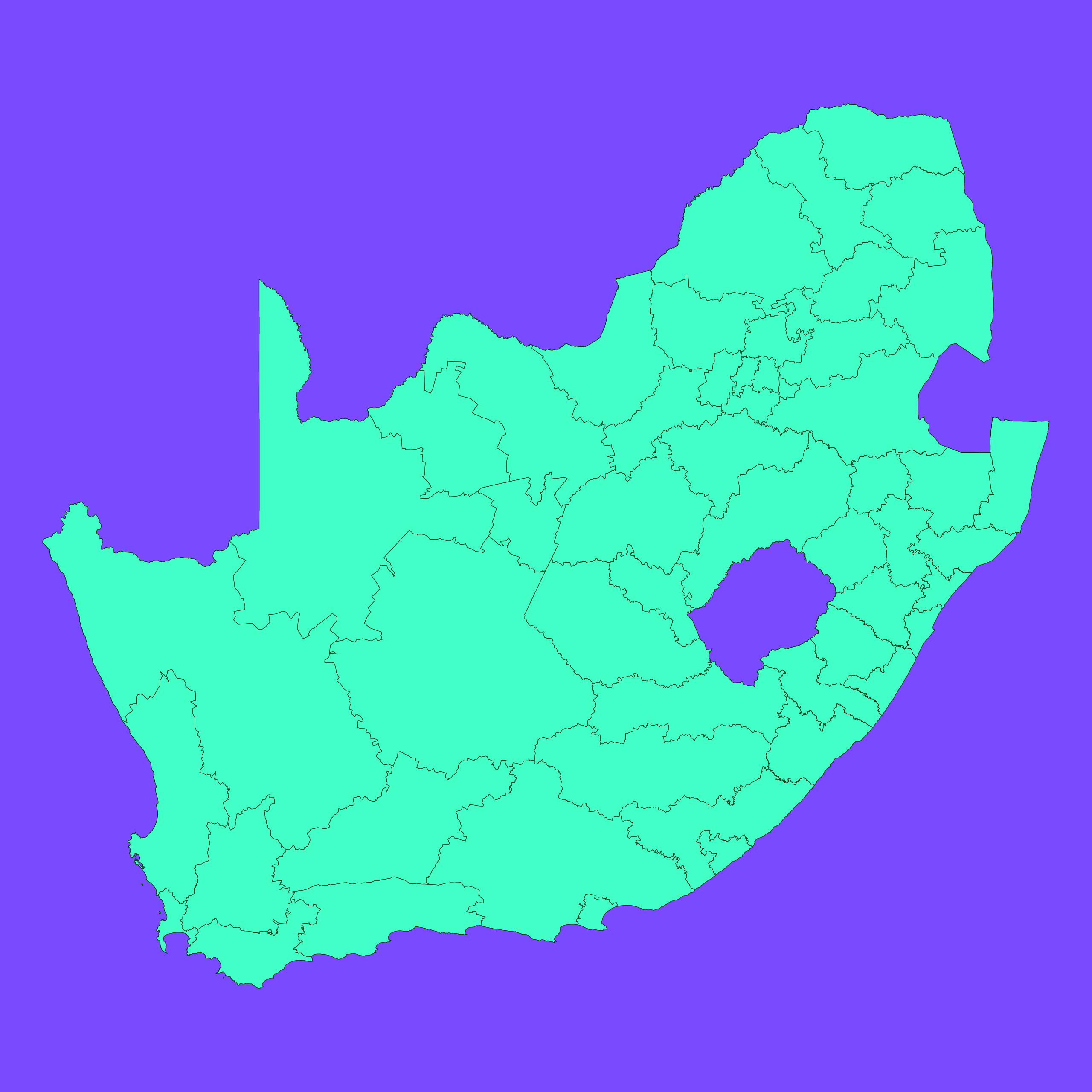
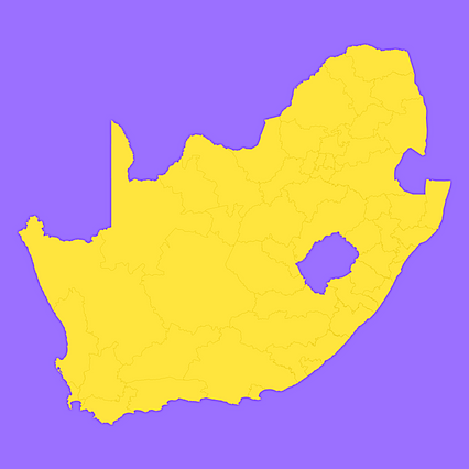
Mercator projection map of South Africa showing district municipality boundaries in dim violet and dark emerald
Projection
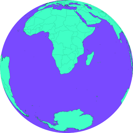
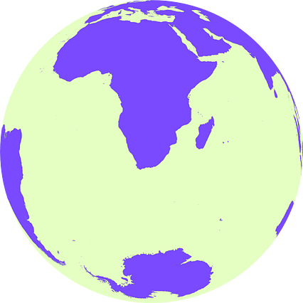
Location
Similar
#72697🇿🇦 South Africa
#192904🇿🇦 South Africa
#262527🇿🇦 South Africa
#278422🇿🇦 South Africa

#285988🇿🇦 South Africa

#390491🇿🇦 South Africa
#570108🇿🇦 South Africa
#580910🇿🇦 South Africa