Map #589424
Download map
PNG format
Full (2560x2560)
SVG format
Scalable vector (any size)
Licence
 Licenced under a Creative Commons Attribution 4.0 International Licence
Free to copy and distribute.
Free for commercial and non-commercial use, but you must credit.
Attribution example:
Image source: SuperMap.World
Unlock this map
Access high definition downloads and full-use licence (no attribution required).
Description
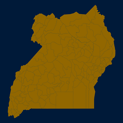
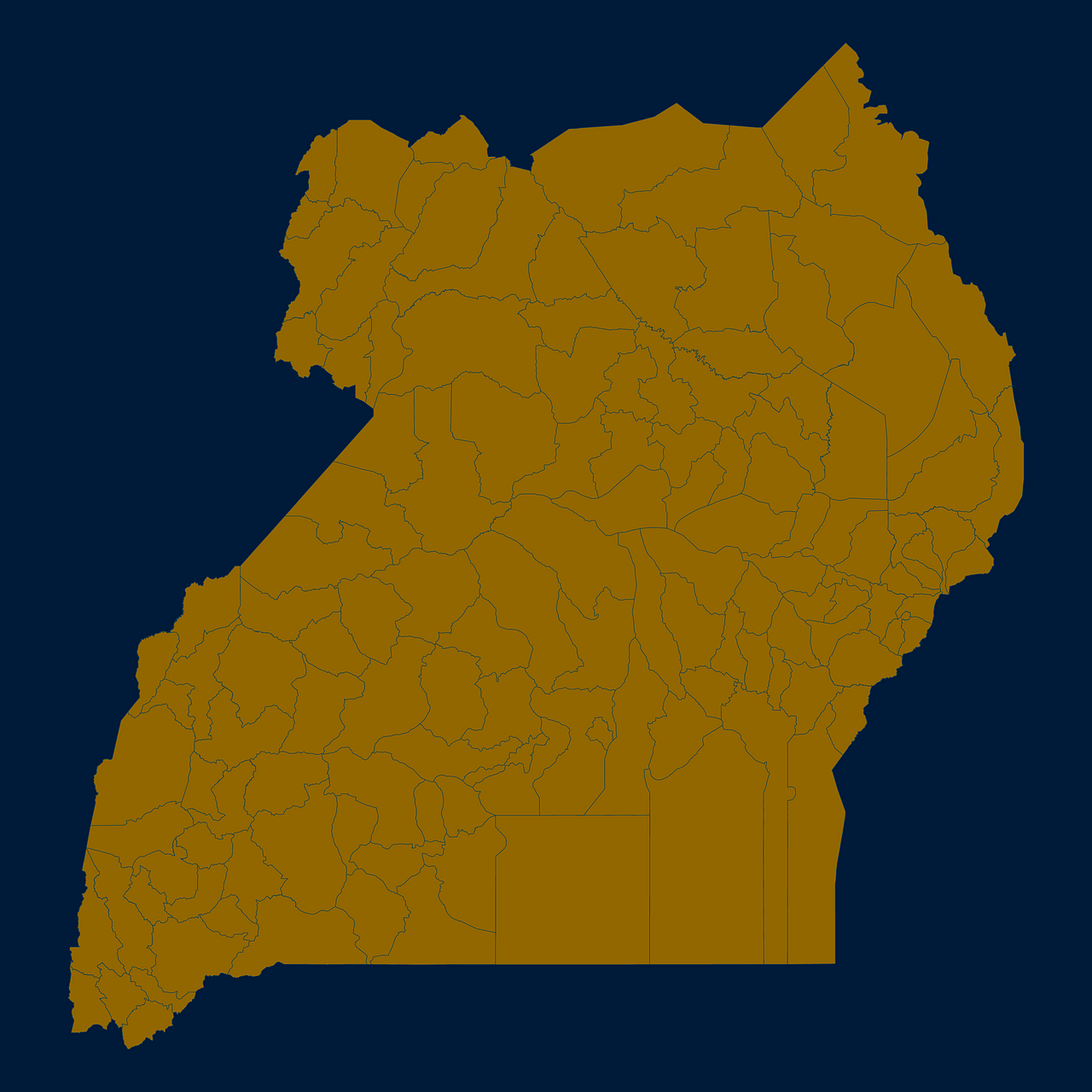
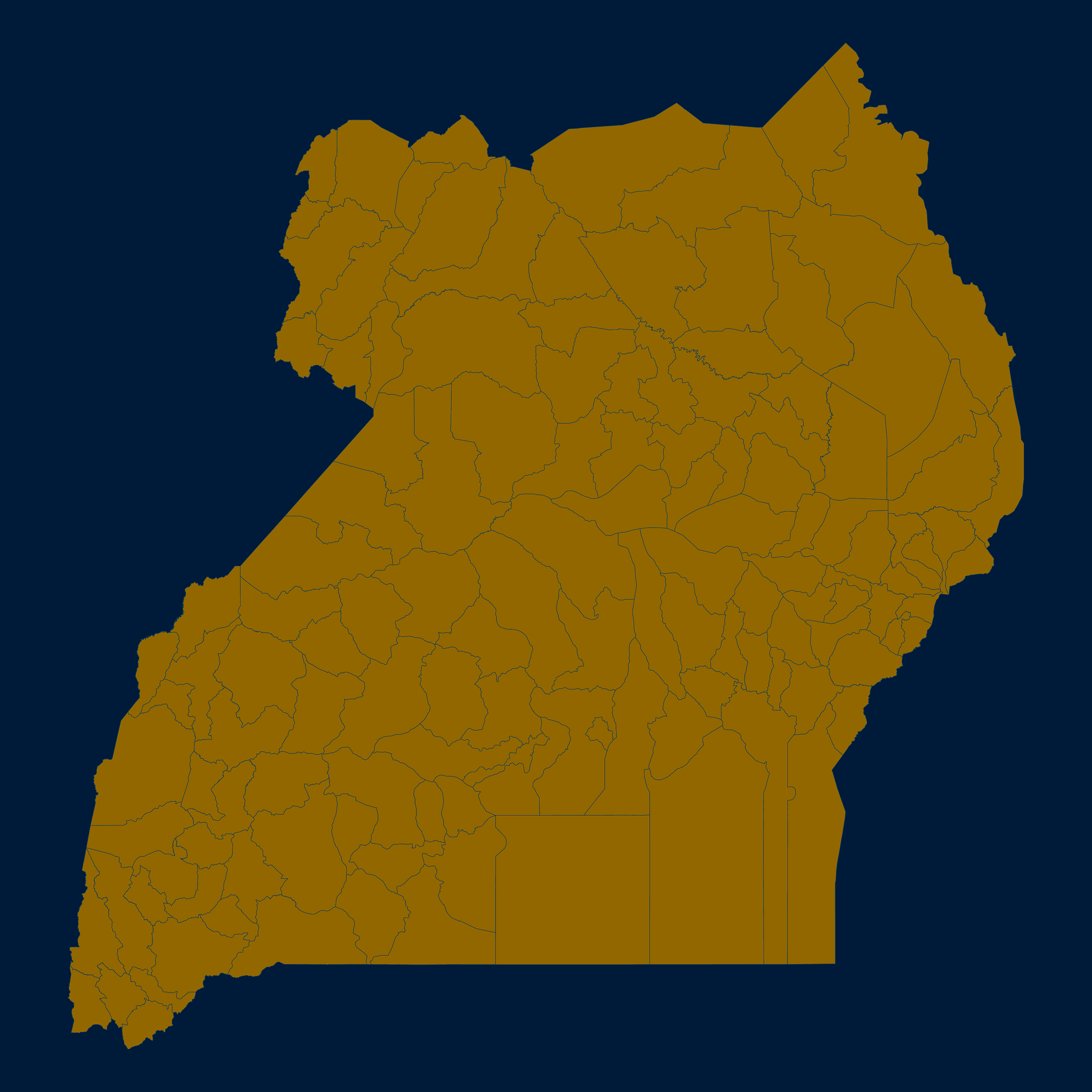
Mercator projection map of Uganda in night blue and dim amber
Projection
Location
Similar

#51872🇺🇬 Uganda

#152175🇺🇬 Uganda

#158777🇺🇬 Uganda

#229119🇺🇬 Uganda

#266203🇺🇬 Uganda

#313822🇺🇬 Uganda

#318589🇺🇬 Uganda

#380235🇺🇬 Uganda