Map #5895

Description

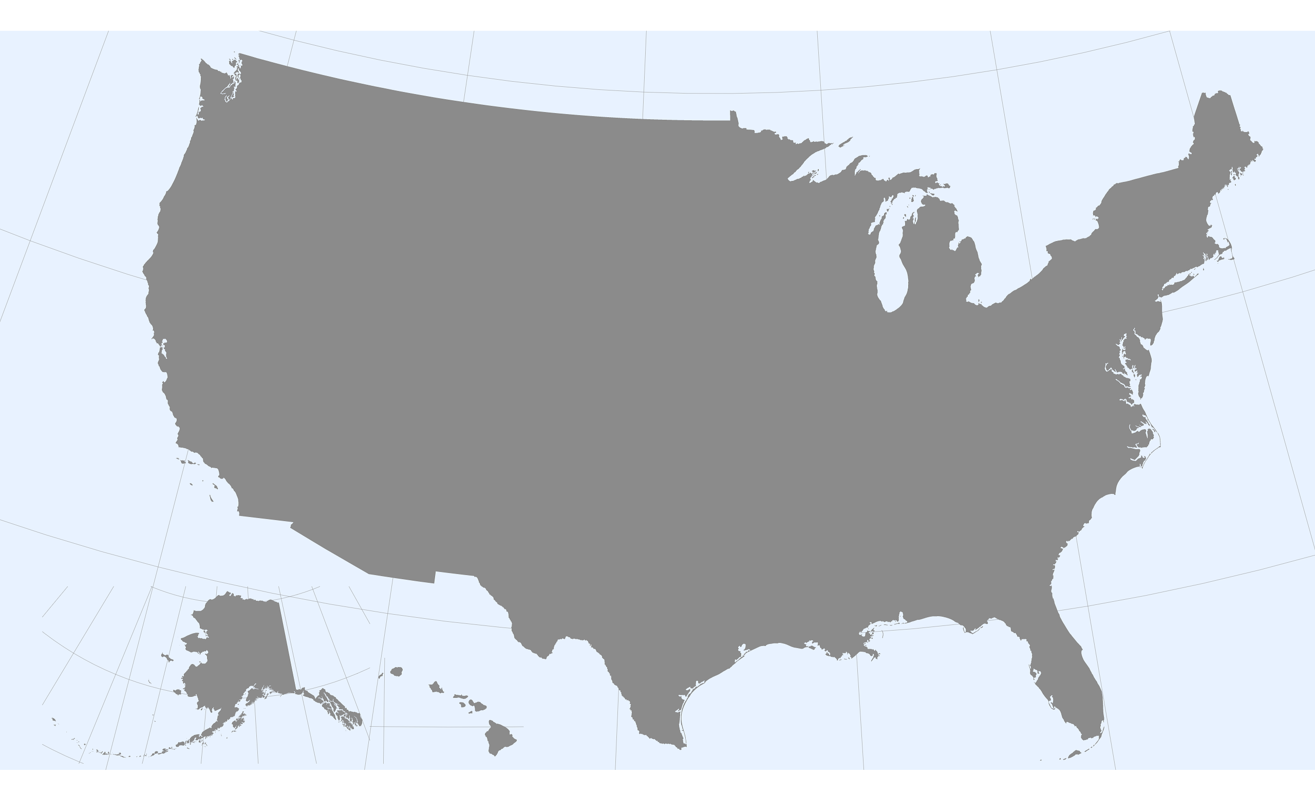
Albers Usa projection map of United States of America in gray and whitened-azure

Colours

Projection

Albers Usa

Location

United States

Data source

geoBoundaries, United States Census Bureau, MAF/TIGER Database


Similar

Orthographic projection map of the World focused on United States in whitened-azure and dim indigo

#6559πŸ‡ΊπŸ‡Έ United States

Orthographic projection map of the World focused on United States in amber and dark azure

#115763πŸ‡ΊπŸ‡Έ United States

Albers Usa projection map of United States of America in dim azure on transparent background

#196139πŸ‡ΊπŸ‡Έ United States

Orthographic projection map of the World focused on United States in dim azure on transparent background

#327208πŸ‡ΊπŸ‡Έ United States

Albers Usa projection map of United States of America showing states boundaries in whitened-azure and dim indigo

#415328πŸ‡ΊπŸ‡Έ United States

Albers Usa projection map of United States of America showing counties boundaries in amber and dark azure

#425744πŸ‡ΊπŸ‡Έ United States

Albers Usa projection map of United States of America in night azure on transparent background

#469086πŸ‡ΊπŸ‡Έ United States

Albers Usa projection map of United States of America showing states boundaries in night azure and dim indigo

#525256πŸ‡ΊπŸ‡Έ United States