
Map #592832
Download map
PNG format
Full (2560x2560)
SVG format
Scalable vector (any size)
Licence
Licenced under a Open Data Commons Open Database License 1.0
- Free to copy and distribute
- Free for commercial and non-commercial use, but you must credit (Image: SuperMap.World, Data: geoBoundaries, OpenStreetMap, Wambacher)
- Share-alike: if you publicly use any adapted version you must also offer that adapted work under the same licence
Unlock this map
Access high definition downloads and full-use licence (no attribution required).
Description
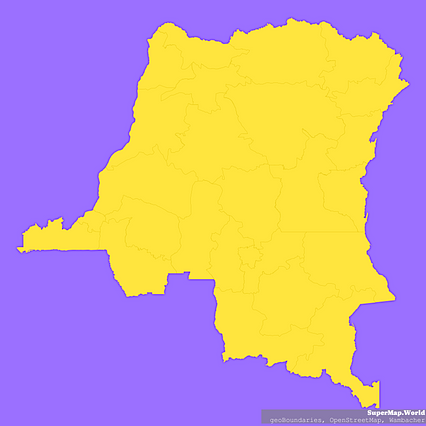
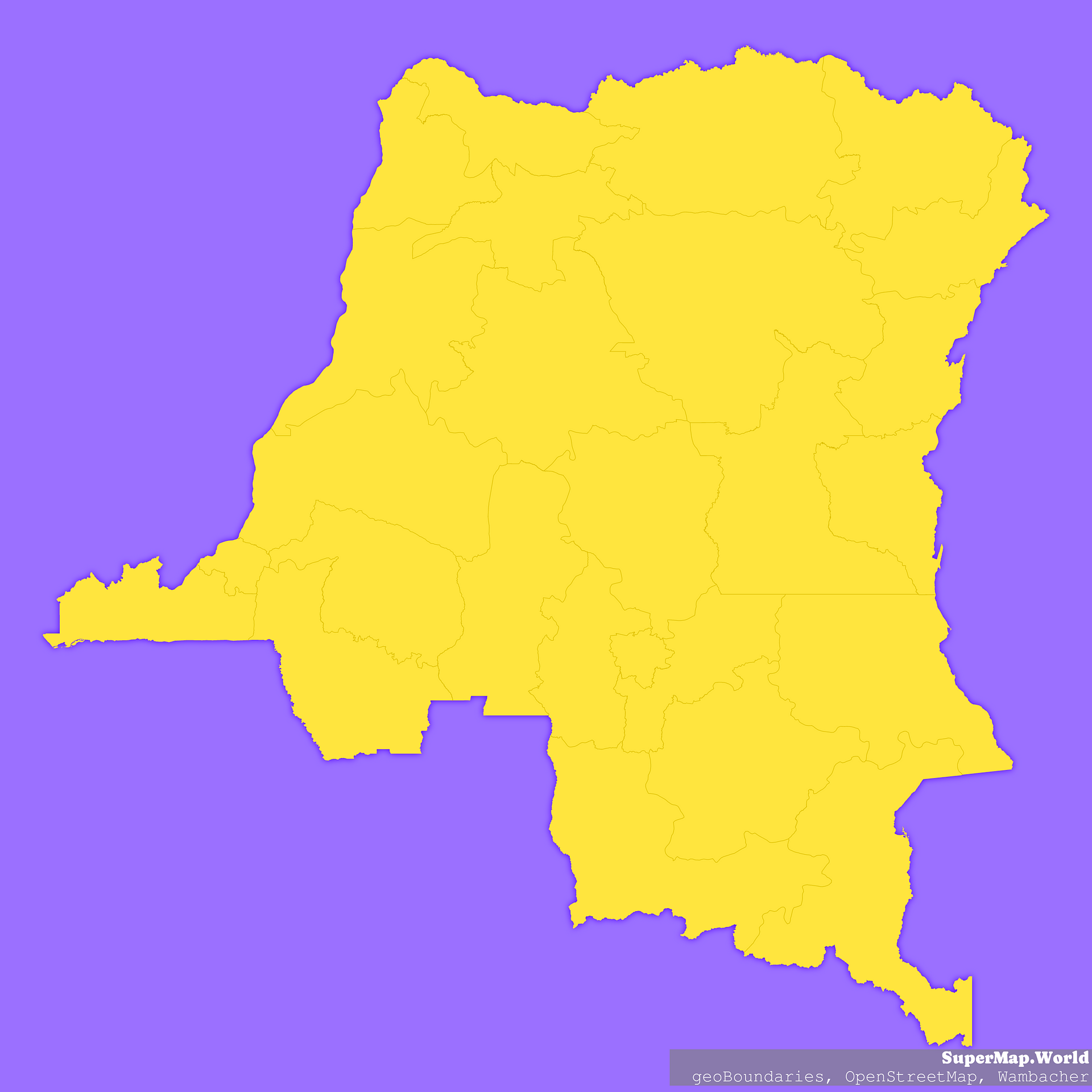
Mercator projection map of Democratic Republic of the Congo showing provinces boundaries in violet and maize-yellow
Projection
Location
Data source
Licence
Open Data Commons Open Database License 1.0
Similar

#11115🇨🇩 Congo (Dem. Rep.)

#53569🇨🇩 Congo (Dem. Rep.)

#130380🇨🇩 Congo (Dem. Rep.)

#152716🇨🇩 Congo (Dem. Rep.)

#189104🇨🇩 Congo (Dem. Rep.)

#348582🇨🇩 Congo (Dem. Rep.)

#529949🇨🇩 Congo (Dem. Rep.)

#552213🇨🇩 Congo (Dem. Rep.)