
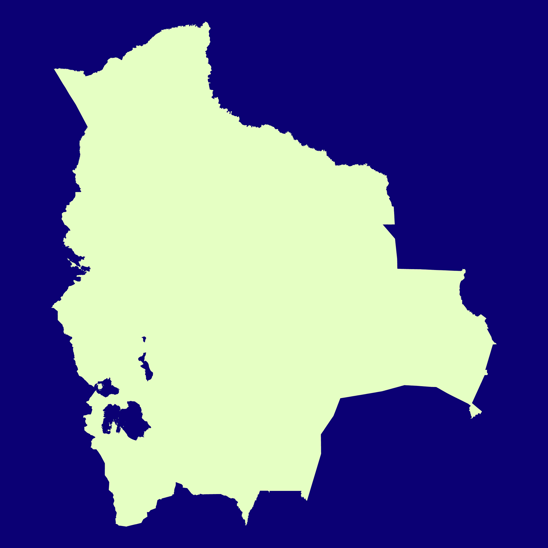
Map #646084
Download map
PNG format
Full (2560x2560)
SVG format
Scalable vector (any size)
Licence
 Licenced under a Creative Commons Attribution 4.0 International Licence
Free to copy and distribute.
Free for commercial and non-commercial use, but you must credit.
Attribution example:
Image source: SuperMap.World
Unlock this map
Access high definition downloads and full-use licence (no attribution required).
Description
Mercator projection map of Bolivia (Plurinational State of) in night violet and whitened-chartreuse
Projection
Location
Similar

#17553🇧🇴 Bolivia

#58097🇧🇴 Bolivia

#111083🇧🇴 Bolivia
#298219🇧🇴 Bolivia

#505683🇧🇴 Bolivia

#522506🇧🇴 Bolivia

#632498🇧🇴 Bolivia

#820776🇧🇴 Bolivia