
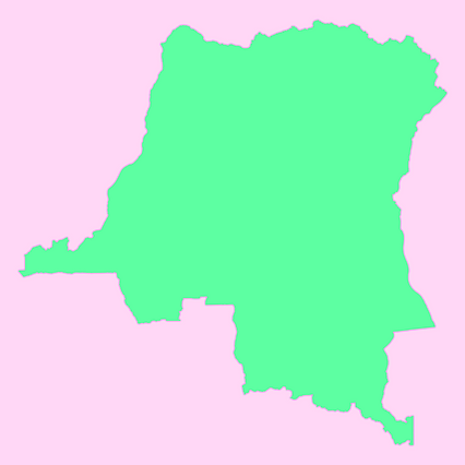
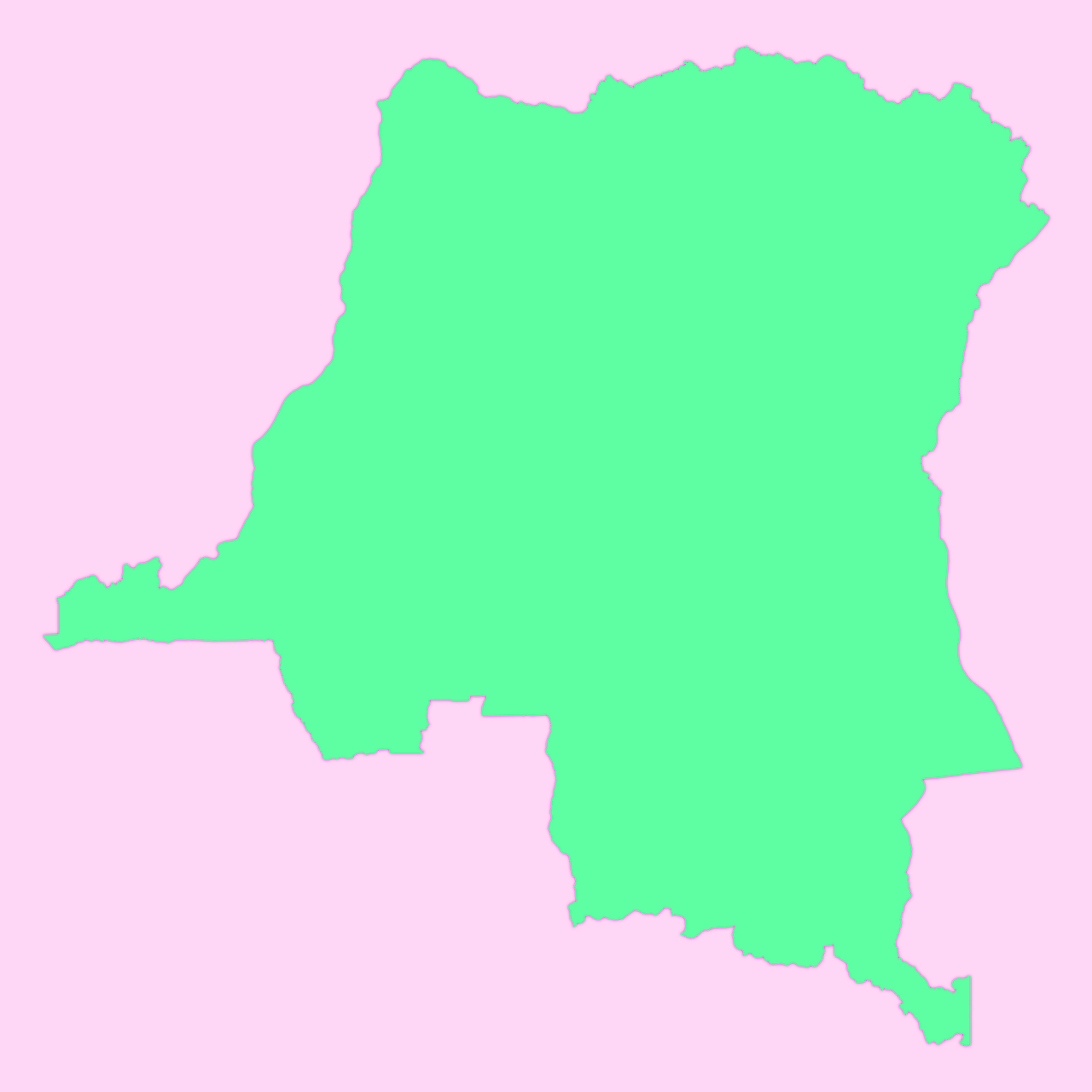
Map #646127
Download map
PNG format
Full (2560x2560)
SVG format
Scalable vector (any size)
Licence
 Licenced under a Creative Commons Attribution 4.0 International Licence
Free to copy and distribute.
Free for commercial and non-commercial use, but you must credit.
Attribution example:
Image source: SuperMap.World
Unlock this map
Access high definition downloads and full-use licence (no attribution required).
Description
Mercator projection map of Democratic Republic of the Congo in pastel emerald and pastel magenta
Projection
Location
Similar

#469291🇨🇩 Congo (Dem. Rep.)

#661121🇨🇩 Congo (Dem. Rep.)

#754307🇨🇩 Congo (Dem. Rep.)

#842904🇨🇩 Congo (Dem. Rep.)

#863151🇨🇩 Congo (Dem. Rep.)