
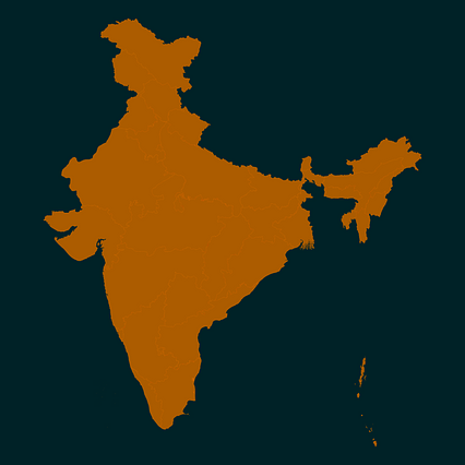
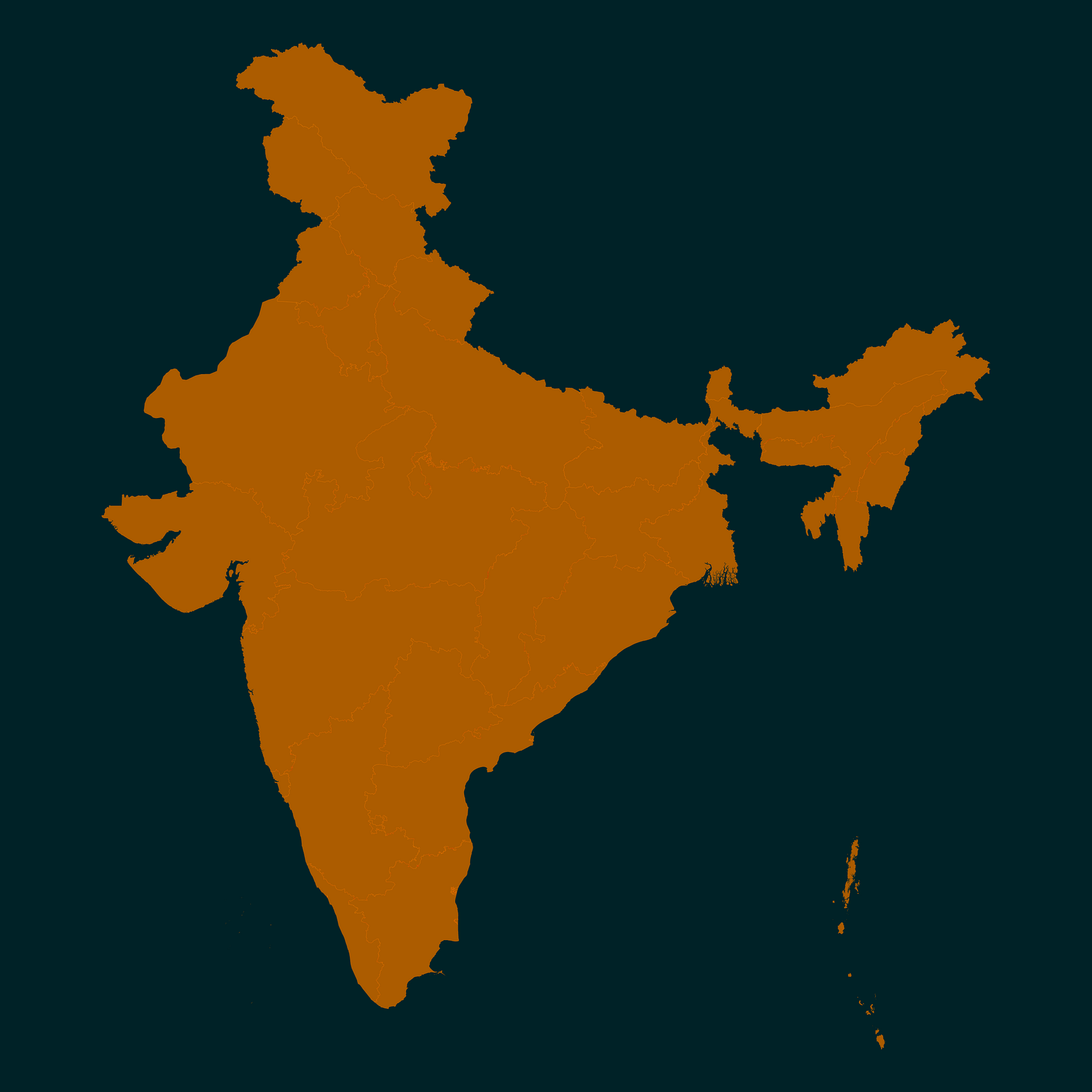
Map #65632
Download map
PNG format
Full (2560x2560)
SVG format
Scalable vector (any size)
Licence
 Licenced under a Creative Commons Attribution 4.0 International Licence
Free to copy and distribute.
Free for commercial and non-commercial use, but you must credit.
Attribution example:
Image source: SuperMap.World
Unlock this map
Access high definition downloads and full-use licence (no attribution required).
Description
Mercator projection map of India showing state / union territory boundaries in night powder and dim cinnamon
Projection
Location
Similar

#99801🇮🇳 India

#112602🇮🇳 India

#164318🇮🇳 India

#249746🇮🇳 India

#265458🇮🇳 India

#267491🇮🇳 India

#313708🇮🇳 India

#346352🇮🇳 India