Map #656931
Download map
PNG format
Full (2560x2560)
SVG format
Scalable vector (any size)
Licence
 Licenced under a Creative Commons Attribution 4.0 International Licence
Free to copy and distribute.
Free for commercial and non-commercial use, but you must credit.
Attribution example:
Image source: SuperMap.World
Unlock this map
Access high definition downloads and full-use licence (no attribution required).
Description
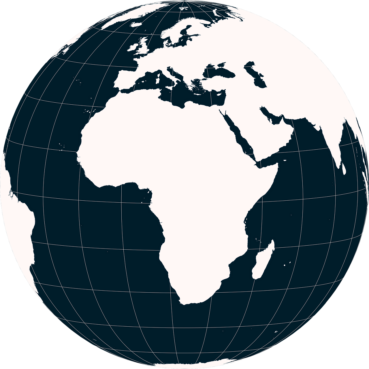
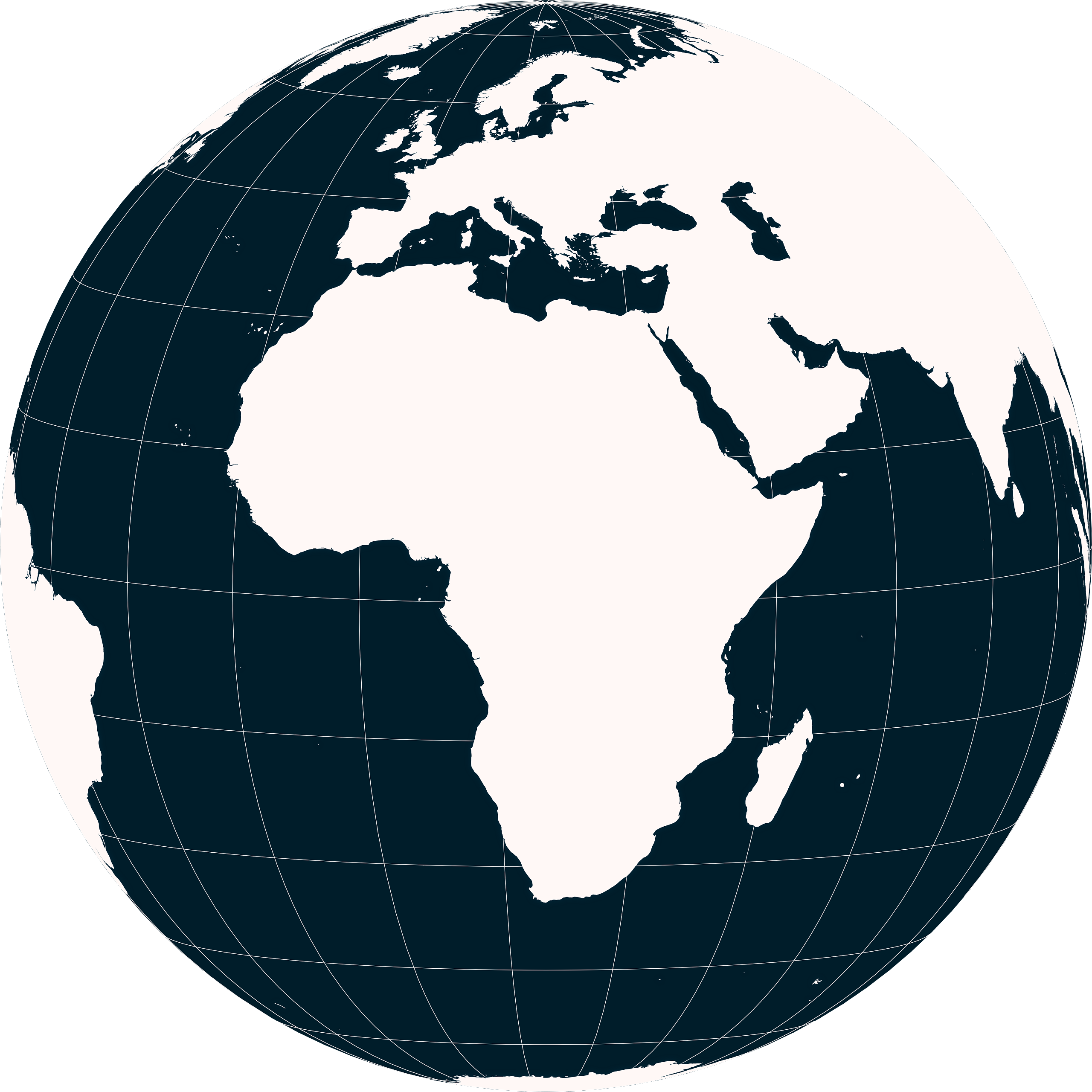
Orthographic projection map of the World focused on Central African Republic in whitened-red and night cerulean
Projection
Location
Data source
Similar

#44918🇨🇫 Central African Republic

#75745🇨🇫 Central African Republic

#175115🇨🇫 Central African Republic

#213039🇨🇫 Central African Republic

#274558🇨🇫 Central African Republic
#328016🇨🇫 Central African Republic

#397320🇨🇫 Central African Republic

#495490🇨🇫 Central African Republic