Map #658240

Description

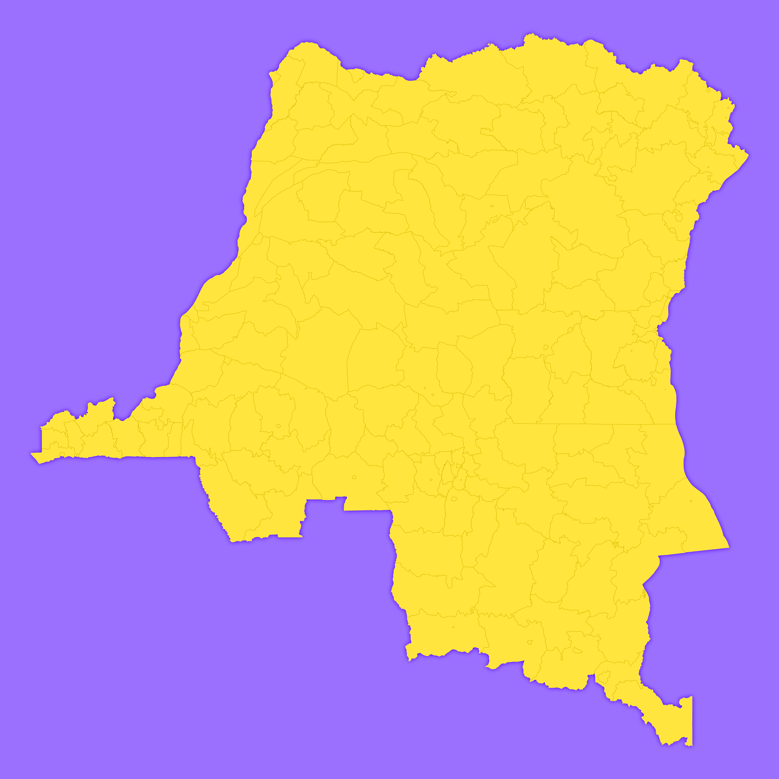
Mercator projection map of Democratic Republic of the Congo showing territory, city boundaries in violet and maize-yellow

Colours

Projection

Mercator

Location

Congo (Dem. Rep.)

Data source

geoBoundaries, Referenciel GΓ©ographique Commun, OCHA DR Congo


Similar

Mercator projection map of Democratic Republic of the Congo in dim powder on transparent background

#86595πŸ‡¨πŸ‡© Congo (Dem. Rep.)

Mercator projection map of Democratic Republic of the Congo in light gray and kassel-earth

#181944πŸ‡¨πŸ‡© Congo (Dem. Rep.)

Mercator projection map of Democratic Republic of the Congo in dark amber on transparent background

#207141πŸ‡¨πŸ‡© Congo (Dem. Rep.)

Orthographic projection map of the World focused on Congo (Dem. Rep.) in night teal on transparent background

#236499πŸ‡¨πŸ‡© Congo (Dem. Rep.)

Mercator projection map of Democratic Republic of the Congo showing provinces boundaries in night blue and whitened-beige

#238916πŸ‡¨πŸ‡© Congo (Dem. Rep.)

Orthographic projection map of the World focused on Congo (Dem. Rep.) in light gray and kassel-earth

#247917πŸ‡¨πŸ‡© Congo (Dem. Rep.)

Mercator projection map of Democratic Republic of the Congo showing provinces boundaries in violet and maize-yellow

#592832πŸ‡¨πŸ‡© Congo (Dem. Rep.)

Orthographic projection map of the World focused on Congo (Dem. Rep.) in violet and maize-yellow

#638179πŸ‡¨πŸ‡© Congo (Dem. Rep.)