
Map #660913
Download map
PNG format
Full (2560x1965)
SVG format
Scalable vector (any size)
Licence
 Licenced under a Creative Commons Attribution 4.0 International Licence
Free to copy and distribute.
Free for commercial and non-commercial use, but you must credit.
Attribution example:
Image source: SuperMap.World
Unlock this map
Access high definition downloads and full-use licence (no attribution required).
Description
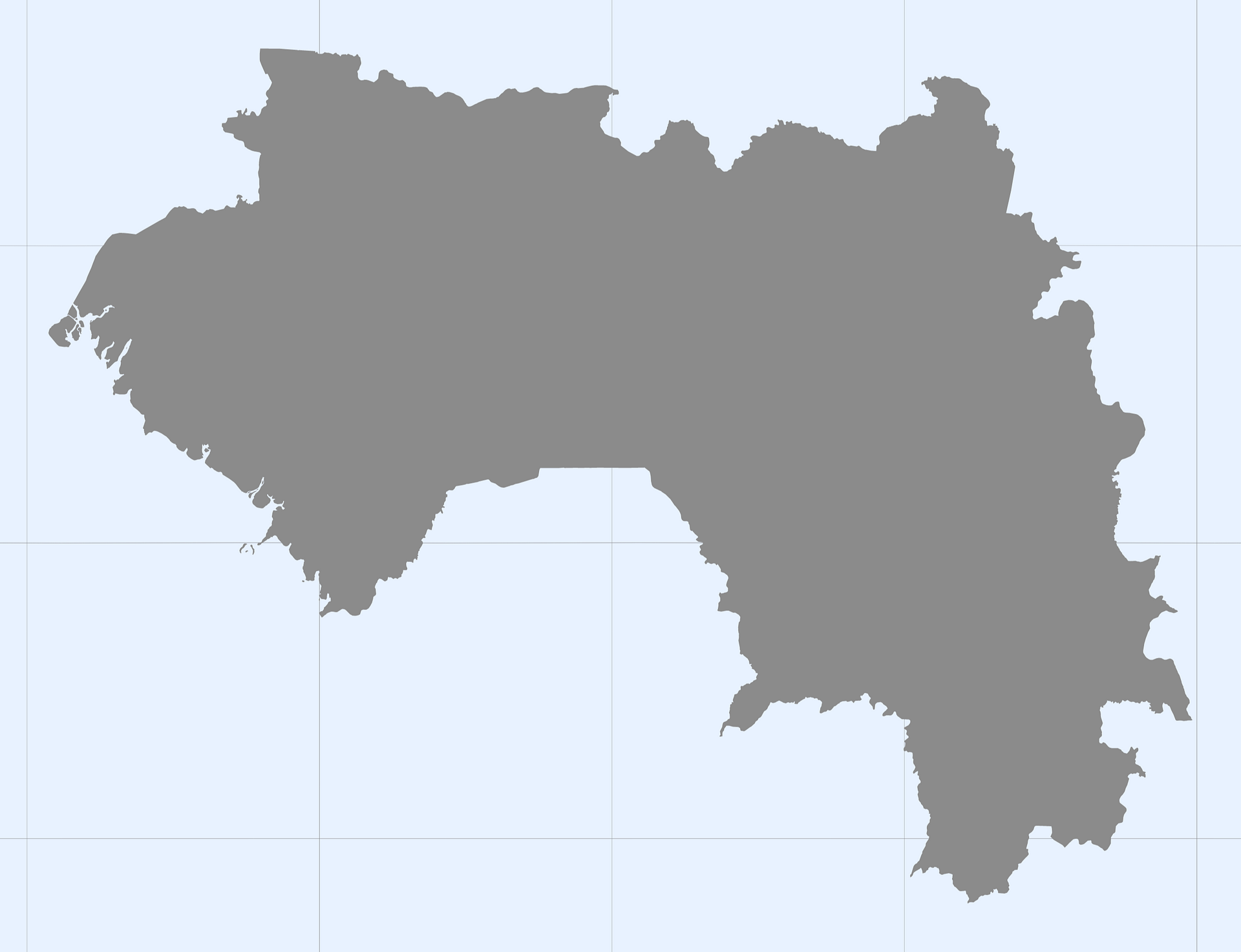
Mercator projection map of Guinea in gray and whitened-azure
Projection
Location
Data source
Similar

#34787🇬🇳 Guinea

#69442🇬🇳 Guinea

#76633🇬🇼 Guinea-Bissau

#123066🇬🇳 Guinea

#176557🇬🇳 Guinea

#188692🇬🇼 Guinea-Bissau

#252408🇬🇳 Guinea

#278373🇬🇼 Guinea-Bissau