
Map #662709
Download map
PNG format
Full (2560x2560)
SVG format
Scalable vector (any size)
Licence
 Licenced under a Creative Commons Attribution 4.0 International Licence
Free to copy and distribute.
Free for commercial and non-commercial use, but you must credit.
Attribution example:
Image source: SuperMap.World
Unlock this map
Access high definition downloads and full-use licence (no attribution required).
Description
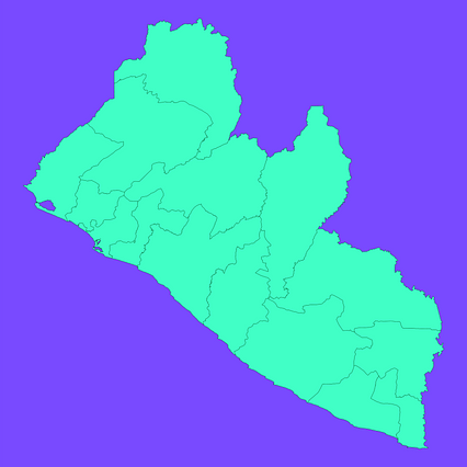
Mercator projection map of Liberia showing counties boundaries in dim violet and dark emerald
Projection
Location
Data source
Similar

#98084🇱🇷 Liberia

#130507🇱🇷 Liberia

#399483🇱🇷 Liberia

#625376🇱🇷 Liberia

#639238🇱🇷 Liberia

#761718🇱🇷 Liberia

#789867🇱🇷 Liberia