
Map #667131
Download map
PNG format
Full (2560x2560)
SVG format
Scalable vector (any size)
Licence
Licenced under a Open Data Commons Open Database License 1.0
- Free to copy and distribute
- Free for commercial and non-commercial use, but you must credit (Image: SuperMap.World, Data: geoBoundaries, OpenStreetMap, Wambacher)
- Share-alike: if you publicly use any adapted version you must also offer that adapted work under the same licence
Unlock this map
Access high definition downloads and full-use licence (no attribution required).
Description
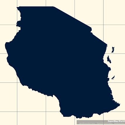
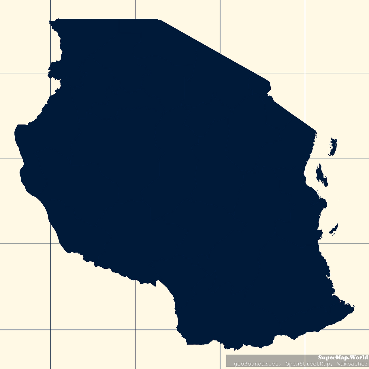
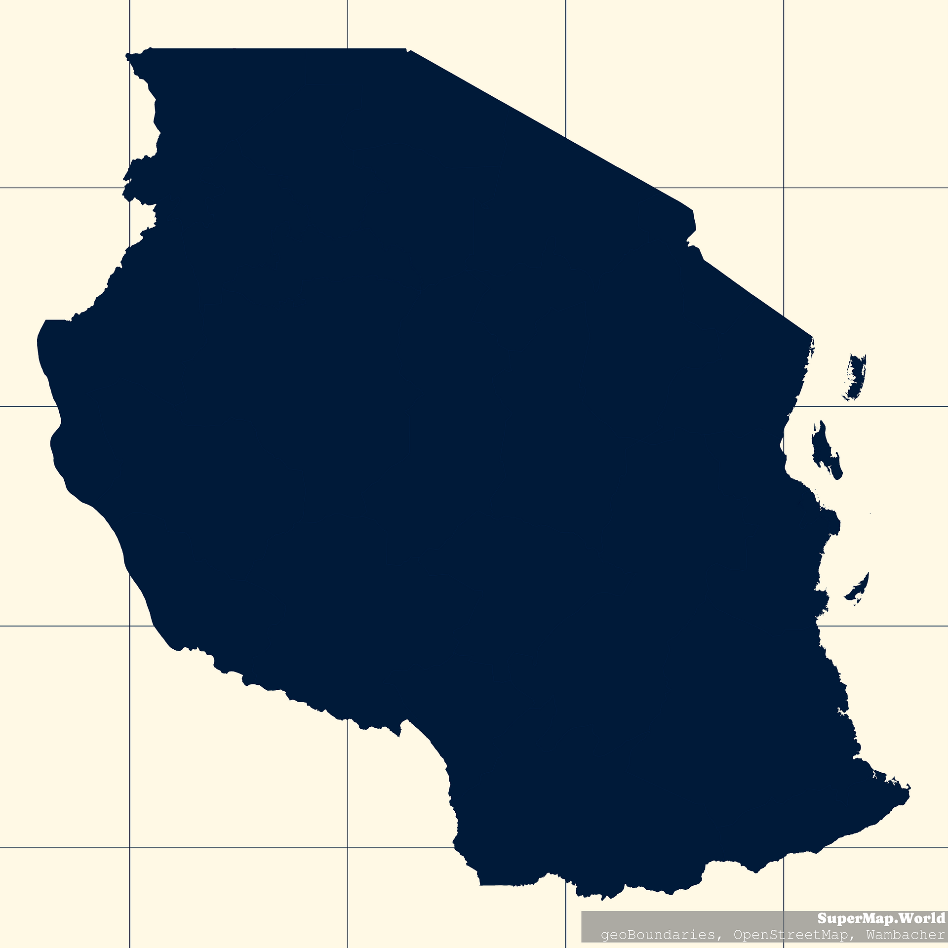
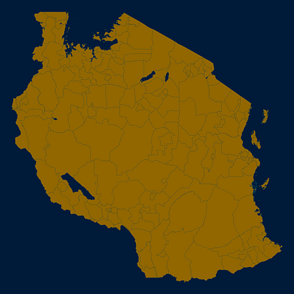
Mercator projection map of United Republic of Tanzania showing regions boundaries in night blue and whitened-beige
Projection
Location
Data source
Licence
Open Data Commons Open Database License 1.0
Similar

#84560🇹🇿 Tanzania

#244804🇹🇿 Tanzania

#294414🇹🇿 Tanzania
#303241🇹🇿 Tanzania

#457081🇹🇿 Tanzania

#515904🇹🇿 Tanzania
#596884🇹🇿 Tanzania

#689096🇹🇿 Tanzania