
Map #676747
Download map
PNG format
Full (2560x1401)
SVG format
Scalable vector (any size)
Licence
 Licenced under a Creative Commons Attribution 4.0 International Licence
Free to copy and distribute.
Free for commercial and non-commercial use, but you must credit.
Attribution example:
Image source: SuperMap.World
Unlock this map
Access high definition downloads and full-use licence (no attribution required).
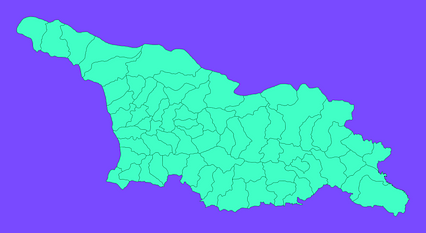
Description
Mercator projection map of Georgia showing municipality boundaries in dim violet and dark emerald
Projection
Location
Data source
Similar

#254769🇬🇪 Georgia

#270240🇬🇪 Georgia

#406948🇬🇪 Georgia

#486724🇬🇪 Georgia

#487392🇬🇪 Georgia

#499267🇬🇪 Georgia

#629044🇬🇪 Georgia

#785689🇬🇪 Georgia