Map #695528
Download map
PNG format
Full (2560x2560)
SVG format
Scalable vector (any size)
Licence
 Licenced under a Creative Commons Attribution 4.0 International Licence
Free to copy and distribute.
Free for commercial and non-commercial use, but you must credit.
Attribution example:
Image source: SuperMap.World
Unlock this map
Access high definition downloads and full-use licence (no attribution required).
Description
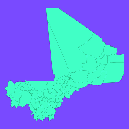
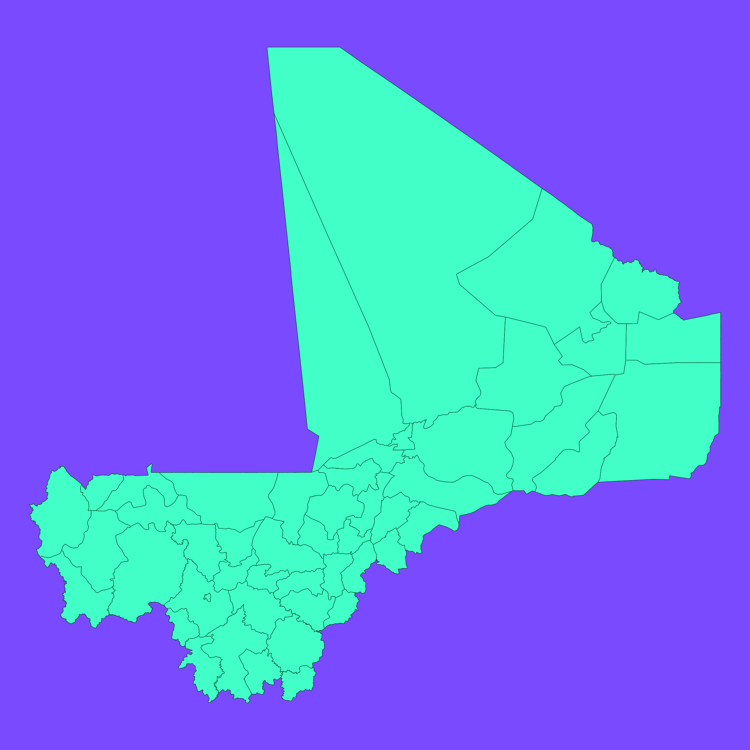
Mercator projection map of Mali showing cercle boundaries in dim violet and dark emerald
Projection
Location
Similar
#41058🇲🇱 Mali

#115719🇲🇱 Mali

#163656🇲🇱 Mali

#170379🇲🇱 Mali

#183659🇲🇱 Mali

#225582🇲🇱 Mali

#476533🇲🇱 Mali

#559244🇲🇱 Mali