Map #699560
Download map
PNG format
Full (2560x2560)
SVG format
Scalable vector (any size)
Licence
 Licenced under a Creative Commons Attribution 4.0 International Licence
Free to copy and distribute.
Free for commercial and non-commercial use, but you must credit.
Attribution example:
Image source: SuperMap.World
Unlock this map
Access high definition downloads and full-use licence (no attribution required).
Description
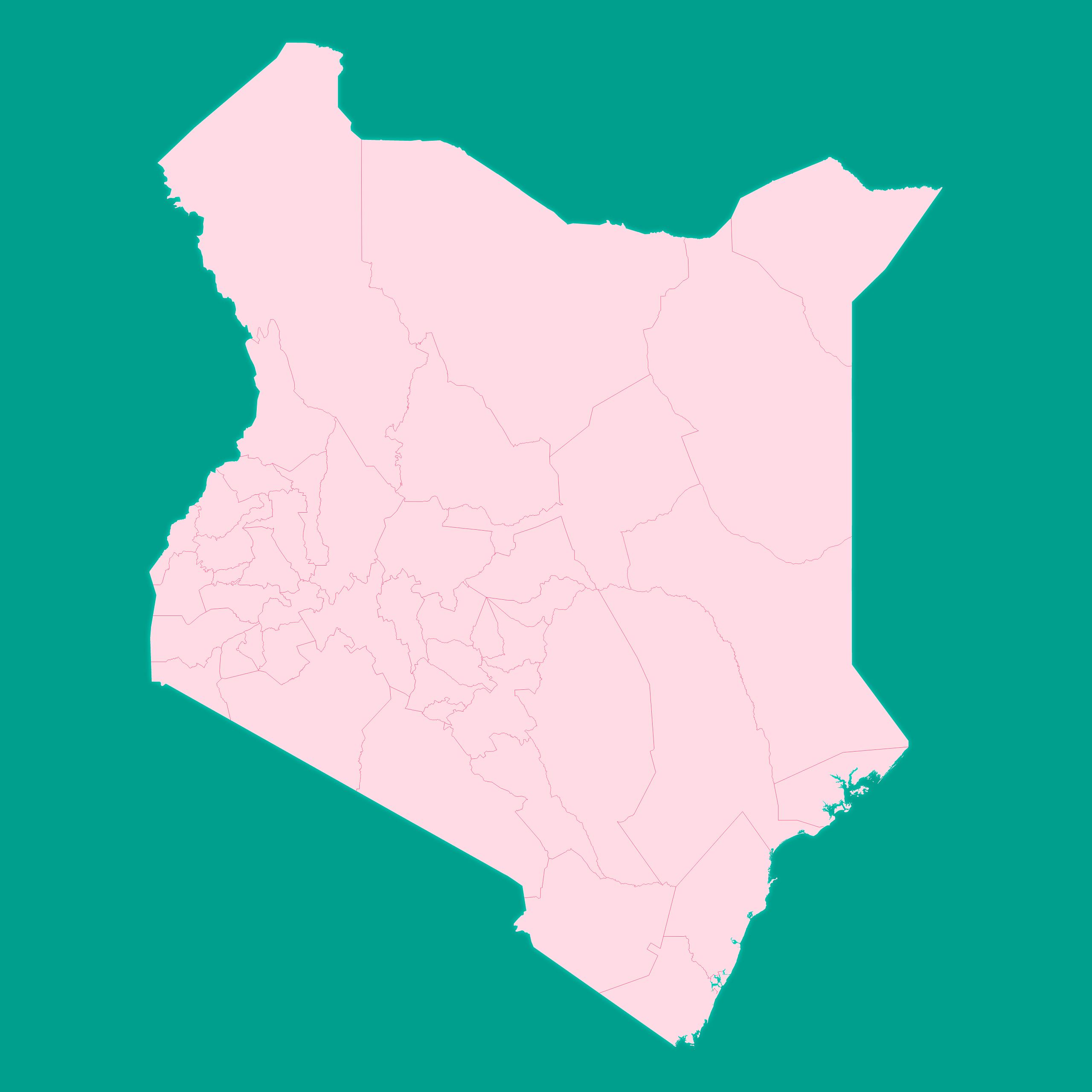
Mercator projection map of Kenya showing counties boundaries in pastel rose and teal
Projection
Location
Data source
Similar

#14687🇰🇪 Kenya

#293300🇰🇪 Kenya

#396420🇰🇪 Kenya

#410931🇰🇪 Kenya

#648326🇰🇪 Kenya

#678272🇰🇪 Kenya

#771931🇰🇪 Kenya

#864262🇰🇪 Kenya