
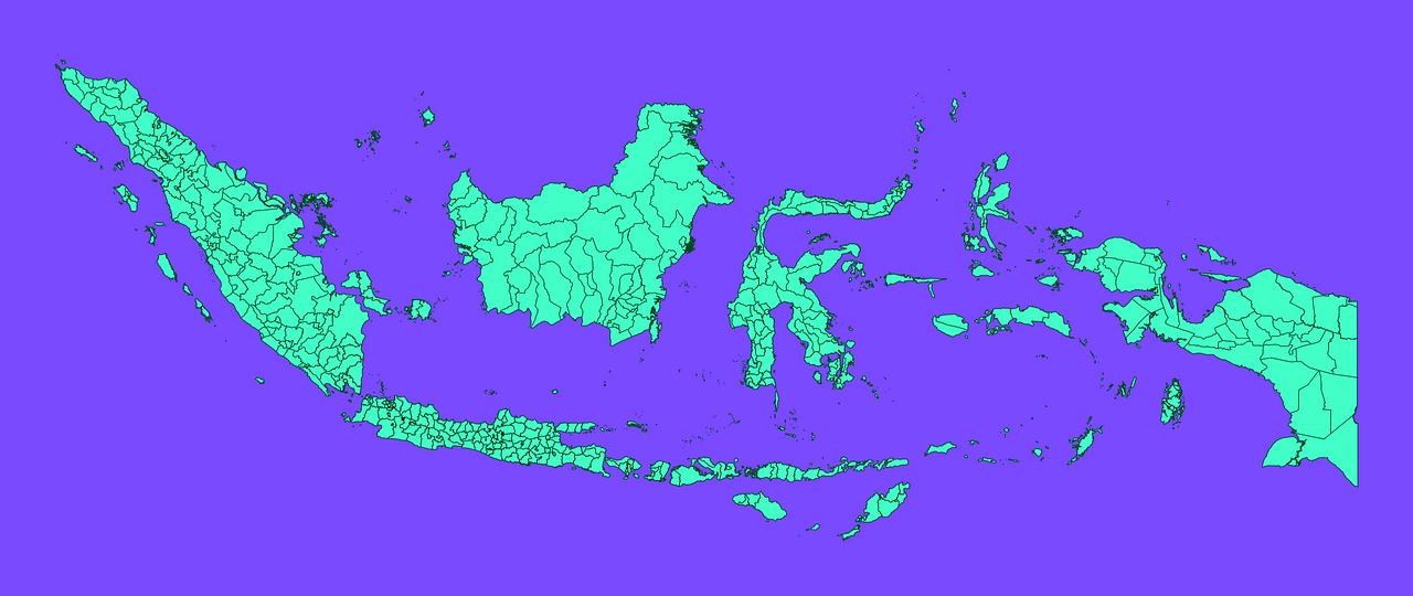
Map #705151
Download map
PNG format
Full (2560x1080)
SVG format
Scalable vector (any size)
Licence
 Licenced under a Creative Commons Attribution 4.0 International Licence
Free to copy and distribute.
Free for commercial and non-commercial use, but you must credit.
Attribution example:
Image source: SuperMap.World
Unlock this map
Access high definition downloads and full-use licence (no attribution required).
Description
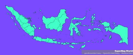
Mercator projection map of Indonesia showing regency, city boundaries in dim violet and dark emerald
Projection
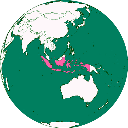
Location
Similar
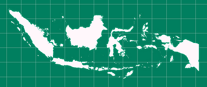
#219079🇮🇩 Indonesia
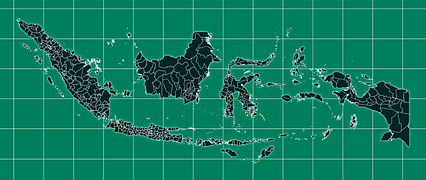
#285833🇮🇩 Indonesia
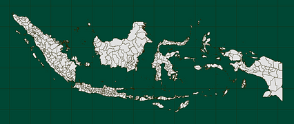
#381000🇮🇩 Indonesia

#506886🇮🇩 Indonesia
#527142🇮🇩 Indonesia

#548922🇮🇩 Indonesia

#588377🇮🇩 Indonesia
#600940🇮🇩 Indonesia