
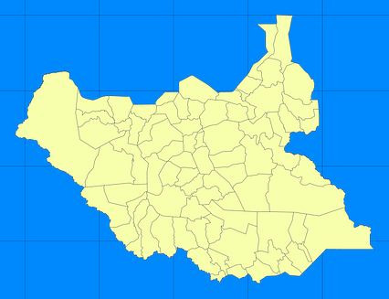
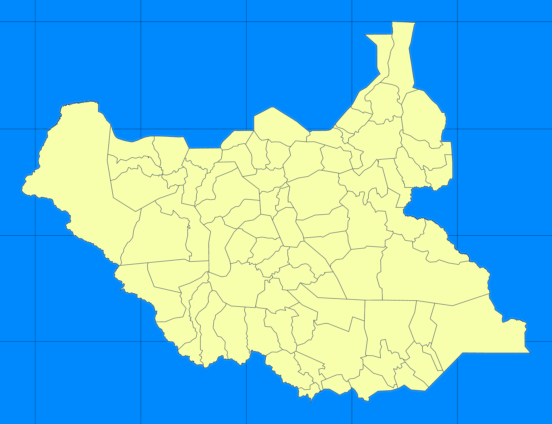
Map #716608
Download map
PNG format
Full (2560x1969)
SVG format
Scalable vector (any size)
Licence
 Licenced under a Creative Commons Attribution 4.0 International Licence
Free to copy and distribute.
Free for commercial and non-commercial use, but you must credit.
Attribution example:
Image source: SuperMap.World
Unlock this map
Access high definition downloads and full-use licence (no attribution required).
Description
Mercator projection map of South Sudan in blue and whitened-lime
Projection
Location
Similar

#25782🇸🇸 South Sudan

#157450🇸🇸 South Sudan

#190841🇸🇸 South Sudan

#197629🇸🇸 South Sudan

#254430🇸🇸 South Sudan

#261511🇸🇸 South Sudan

#326518🇸🇸 South Sudan

#331478🇸🇸 South Sudan