
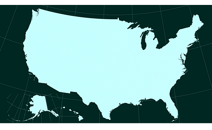
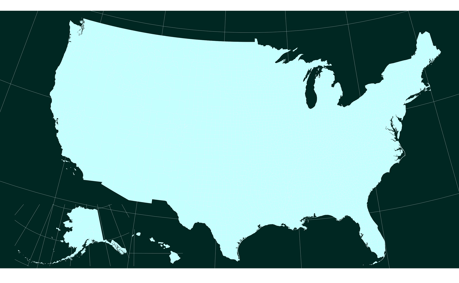
Map #723568
Download map
PNG format
Full (2560x1580)
SVG format
Scalable vector (any size)
Licence
 Licenced under a Creative Commons Attribution 4.0 International Licence
Free to copy and distribute.
Free for commercial and non-commercial use, but you must credit.
Attribution example:
Image source: SuperMap.World
Unlock this map
Access high definition downloads and full-use licence (no attribution required).
Description
Albers Usa projection map of United States of America in whitened-cyan and night teal
Projection
Location
Similar

#142797🇺🇸 United States

#166657🇺🇸 United States

#223431🇺🇸 United States

#320854🇺🇸 United States

#374467🇺🇸 United States

#415739🇺🇸 United States

#469470🇺🇸 United States

#560550🇺🇸 United States