Map #725761
Download map
PNG format
Full (2560x1498)
SVG format
Scalable vector (any size)
Licence
Licenced under a Open Data Commons Open Database License 1.0
- Free to copy and distribute
- Free for commercial and non-commercial use, but you must credit (Image: SuperMap.World, Data: geoBoundaries, OpenStreetMap, Wambacher)
- Share-alike: if you publicly use any adapted version you must also offer that adapted work under the same licence
Unlock this map
Access high definition downloads and full-use licence (no attribution required).
Description
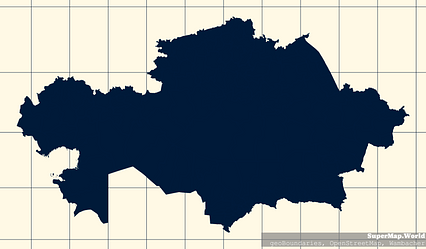
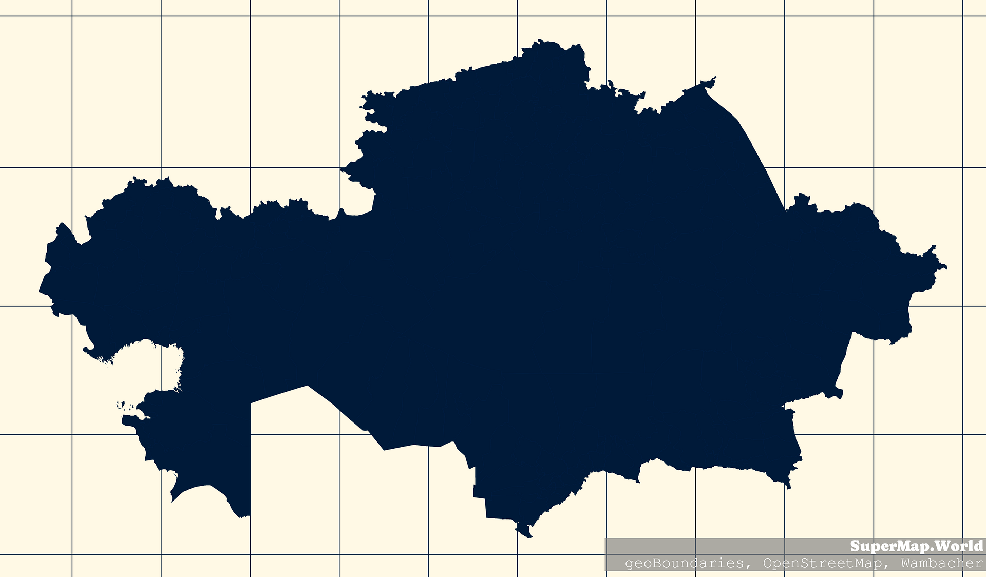
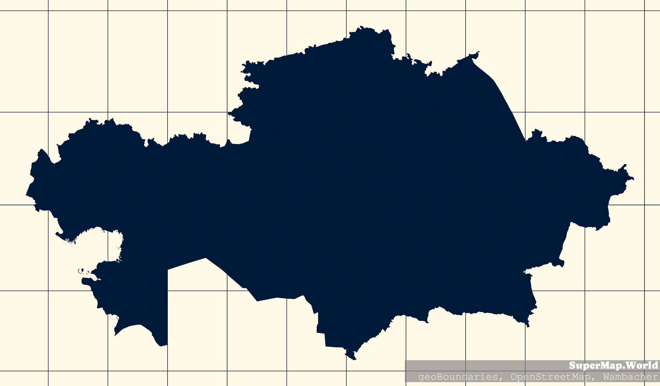
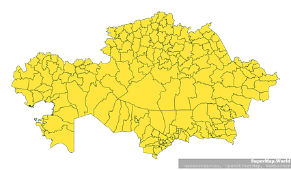
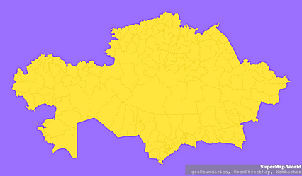
Mercator projection map of Kazakhstan showing district boundaries in night blue and whitened-beige
Projection
Location
Data source
Licence
Open Data Commons Open Database License 1.0
Similar

#33639🇰🇿 Kazakhstan
#115684🇰🇿 Kazakhstan

#145201🇰🇿 Kazakhstan

#234951🇰🇿 Kazakhstan

#237473🇰🇿 Kazakhstan
#273301🇰🇿 Kazakhstan

#342954🇰🇿 Kazakhstan

#429680🇰🇿 Kazakhstan