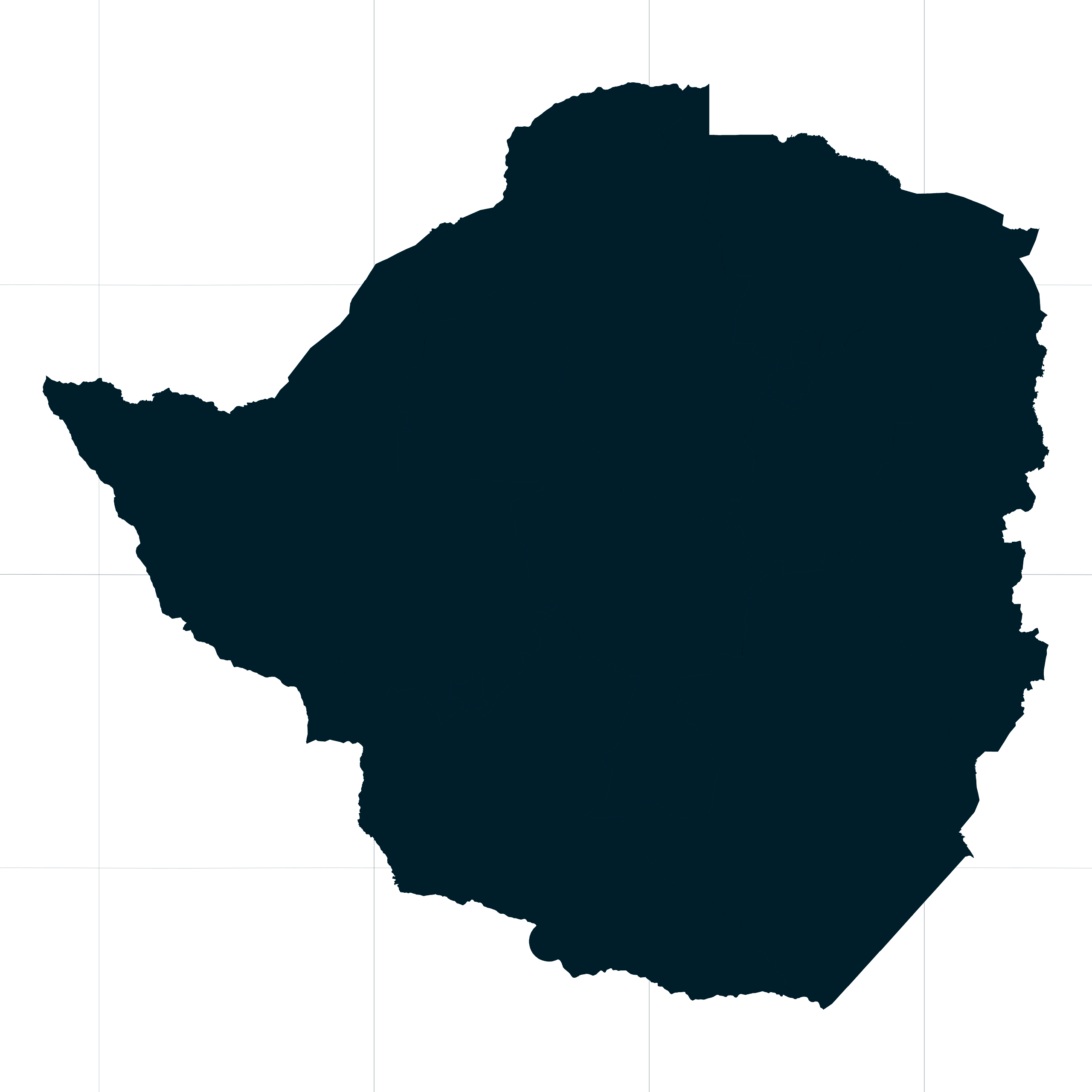
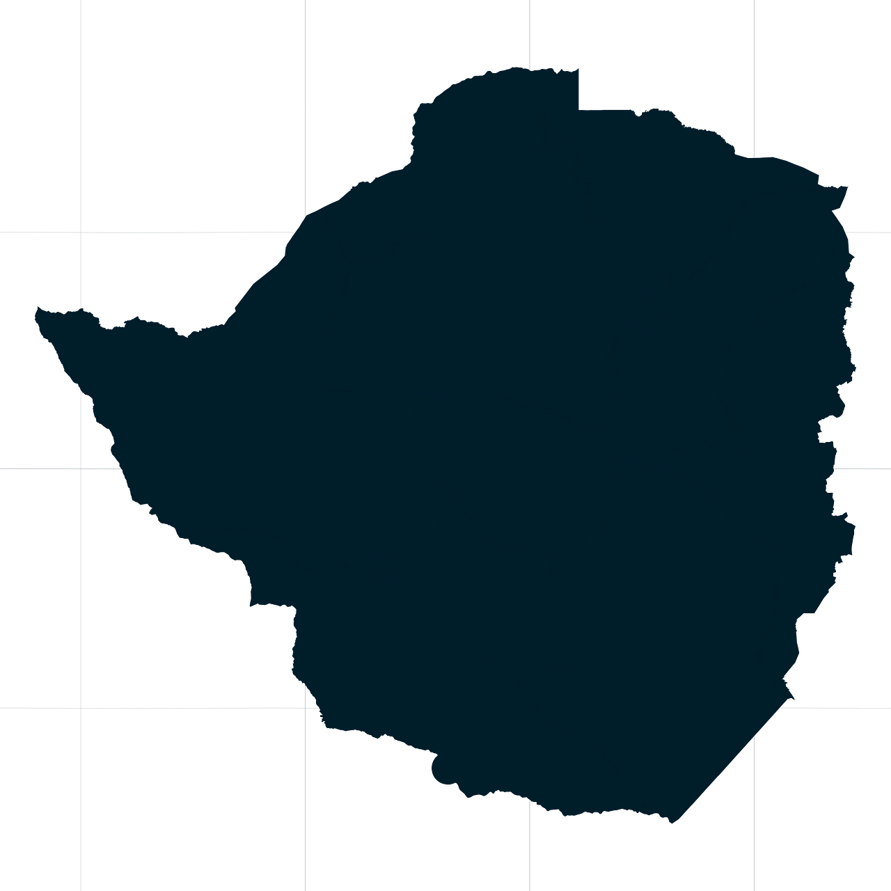
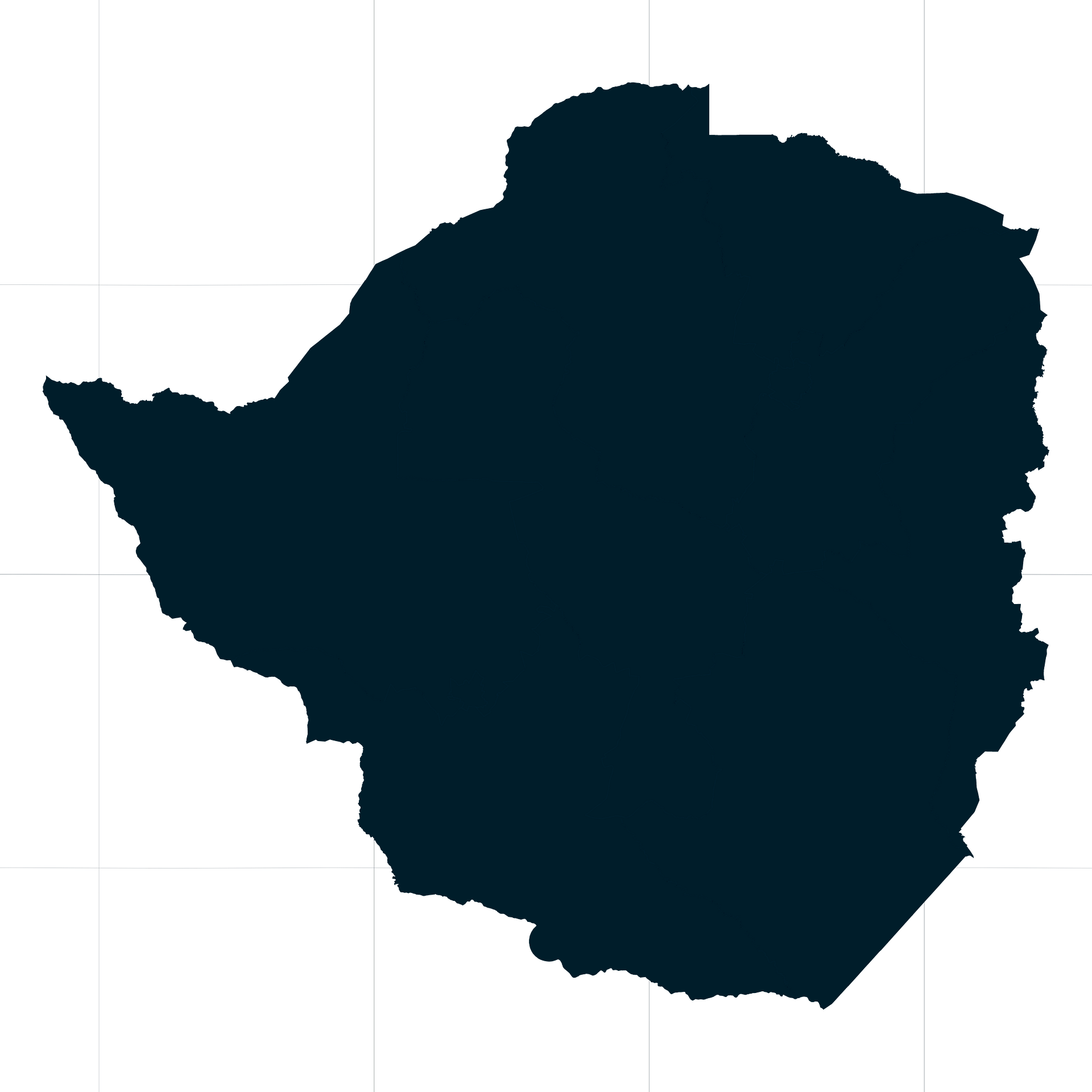
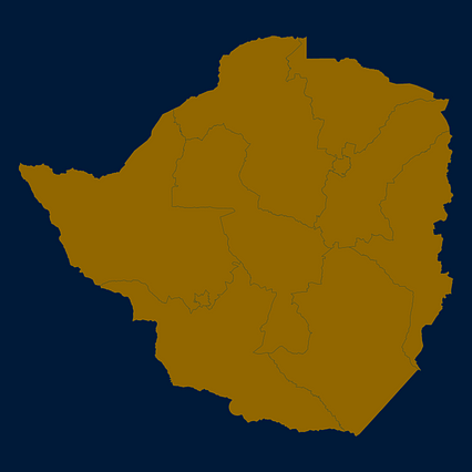
Map #739058
Download map
PNG format
Full (2560x2560)
SVG format
Scalable vector (any size)
Licence
 Licenced under a Creative Commons Attribution 4.0 International Licence
Free to copy and distribute.
Free for commercial and non-commercial use, but you must credit.
Attribution example:
Image source: SuperMap.World
Unlock this map
Access high definition downloads and full-use licence (no attribution required).
Description
Mercator projection map of Zimbabwe showing province boundaries in night cerulean on transparent background
Projection
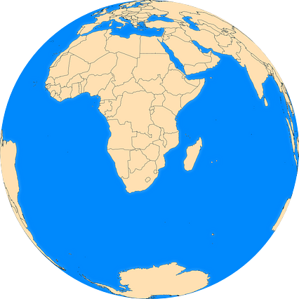
Location
Similar

#66302🇿🇼 Zimbabwe
#94534🇿🇼 Zimbabwe

#125603🇿🇼 Zimbabwe
#156282🇿🇼 Zimbabwe

#262695🇿🇼 Zimbabwe

#348286🇿🇼 Zimbabwe
#362486🇿🇼 Zimbabwe

#406016🇿🇼 Zimbabwe