Map #75654
Download map
PNG format
Full (2560x2560)
SVG format
Scalable vector (any size)
Licence
 Licenced under a Creative Commons Attribution 4.0 International Licence
Free to copy and distribute.
Free for commercial and non-commercial use, but you must credit.
Attribution example:
Image source: SuperMap.World
Unlock this map
Access high definition downloads and full-use licence (no attribution required).
Description
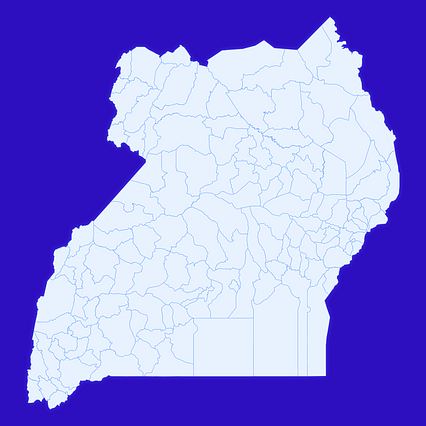
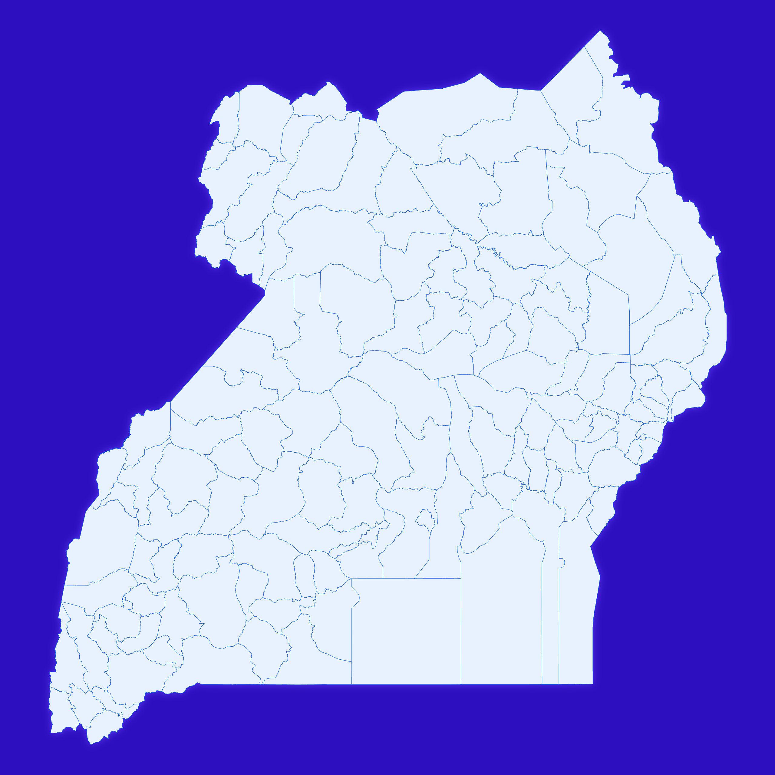
Mercator projection map of Uganda showing sub-regions boundaries in whitened-azure and dim indigo
Projection
Location
Similar

#10225🇺🇬 Uganda

#105412🇺🇬 Uganda

#306905🇺🇬 Uganda

#391725🇺🇬 Uganda

#479066🇺🇬 Uganda

#491372🇺🇬 Uganda

#522530🇺🇬 Uganda

#592691🇺🇬 Uganda