
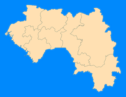
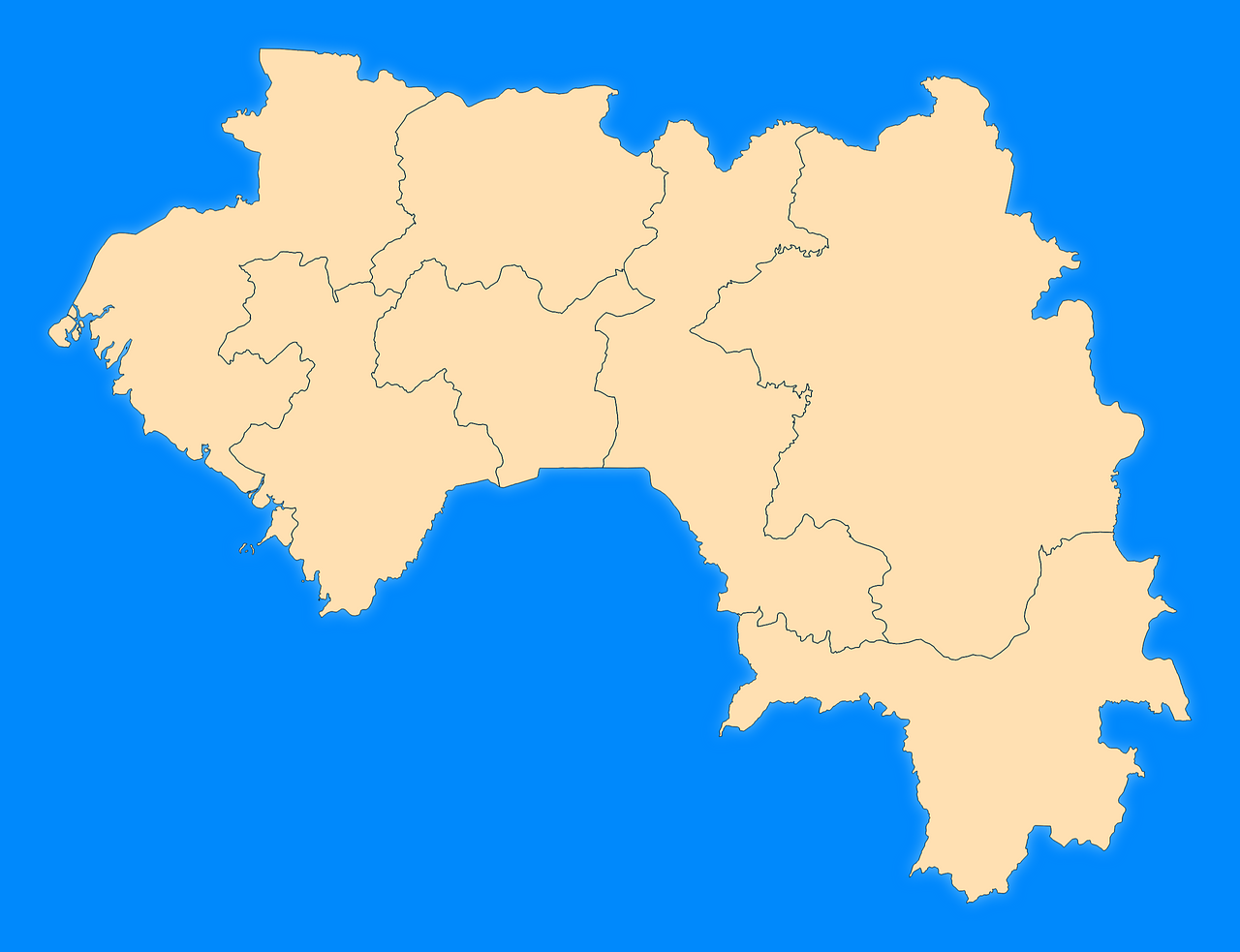
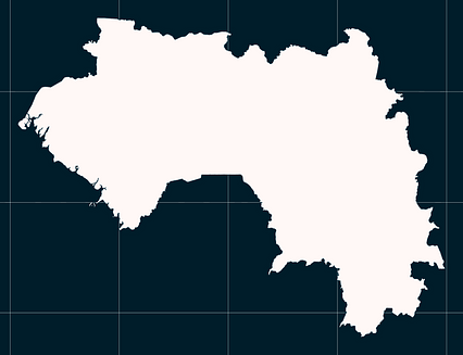
Map #764920
Download map
PNG format
Full (2560x1965)
SVG format
Scalable vector (any size)
Licence
 Licenced under a Creative Commons Attribution 4.0 International Licence
Free to copy and distribute.
Free for commercial and non-commercial use, but you must credit.
Attribution example:
Image source: SuperMap.World
Unlock this map
Access high definition downloads and full-use licence (no attribution required).
Description
Mercator projection map of Guinea showing administrative regions and governate boundaries in blue and pastel amber
Projection
Location
Data source
Similar

#8565🇬🇳 Guinea

#19362🇬🇼 Guinea-Bissau

#34787🇬🇳 Guinea

#45730🇬🇼 Guinea-Bissau

#175920🇬🇳 Guinea

#178670🇬🇳 Guinea
#212910🇬🇳 Guinea

#253245🇬🇳 Guinea