
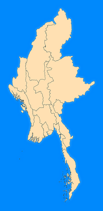
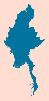
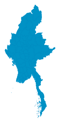
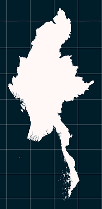
Map #782346
Download map
PNG format
Full (1257x2560)
SVG format
Scalable vector (any size)
Licence
 Licenced under a Creative Commons Attribution 4.0 International Licence
Free to copy and distribute.
Free for commercial and non-commercial use, but you must credit.
Attribution example:
Image source: SuperMap.World
Unlock this map
Access high definition downloads and full-use licence (no attribution required).
Description
Mercator projection map of Myanmar showing state boundaries in blue and pastel amber
Projection
Location
Similar

#9243🇲🇲 Myanmar (Burma)

#16953🇲🇲 Myanmar (Burma)

#19103🇲🇲 Myanmar (Burma)

#36991🇲🇲 Myanmar (Burma)

#88878🇲🇲 Myanmar (Burma)
#403168🇲🇲 Myanmar (Burma)
#536924🇲🇲 Myanmar (Burma)
#656438🇲🇲 Myanmar (Burma)