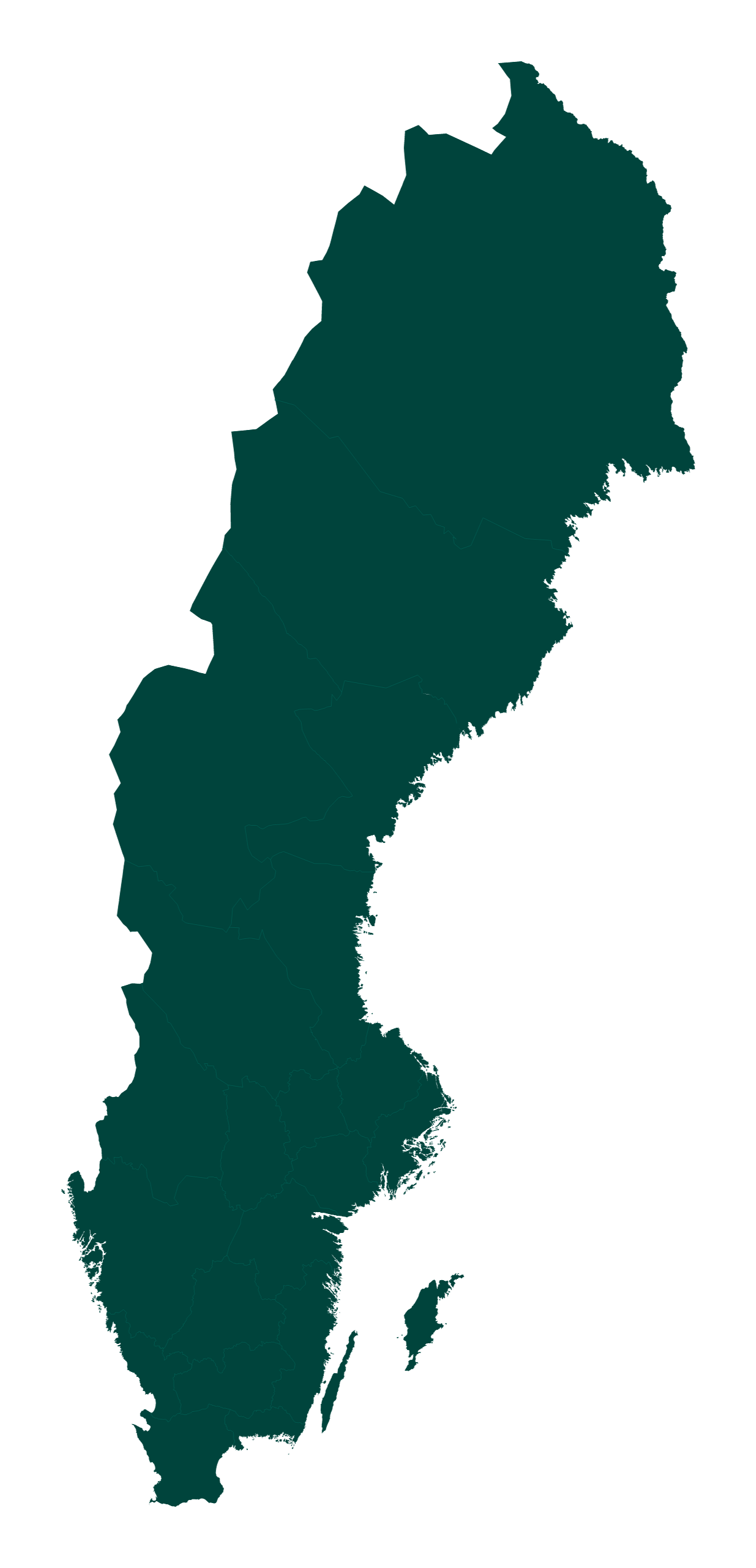
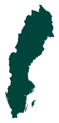
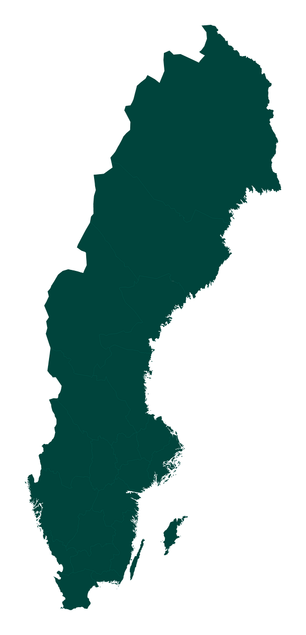
Map #808213
Download map
PNG format
Full (1235x2560)
SVG format
Scalable vector (any size)
Licence
 Licenced under a Creative Commons Attribution 4.0 International Licence
Free to copy and distribute.
Free for commercial and non-commercial use, but you must credit.
Attribution example:
Image source: SuperMap.World
Unlock this map
Access high definition downloads and full-use licence (no attribution required).
Description
Mercator projection map of Sweden showing county boundaries in dark teal on transparent background
Projection
Location
Data source
Similar

#181131🇸🇪 Sweden

#236191🇸🇪 Sweden

#275330🇸🇪 Sweden

#297670🇸🇪 Sweden

#354554🇸🇪 Sweden

#519983🇸🇪 Sweden

#555320🇸🇪 Sweden

#640083🇸🇪 Sweden