
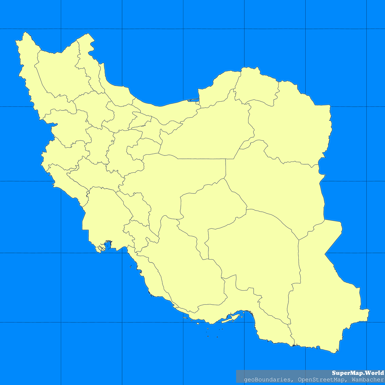
Map #828727
Download map
PNG format
Full (2560x2560)
SVG format
Scalable vector (any size)
Licence
Licenced under a Open Data Commons Open Database License 1.0
- Free to copy and distribute
- Free for commercial and non-commercial use, but you must credit (Image: SuperMap.World, Data: geoBoundaries, OpenStreetMap, Wambacher)
- Share-alike: if you publicly use any adapted version you must also offer that adapted work under the same licence
Unlock this map
Access high definition downloads and full-use licence (no attribution required).
Description
Mercator projection map of Iran (Islamic Republic of) in blue and whitened-lime
Projection
Location
Data source
Licence
Open Data Commons Open Database License 1.0
Similar
#349735🇮🇷 Iran

#381732🇮🇷 Iran

#387284🇮🇷 Iran
#419277🇮🇷 Iran

#531322🇮🇷 Iran

#578084🇮🇷 Iran
#626911🇮🇷 Iran

#763000🇮🇷 Iran