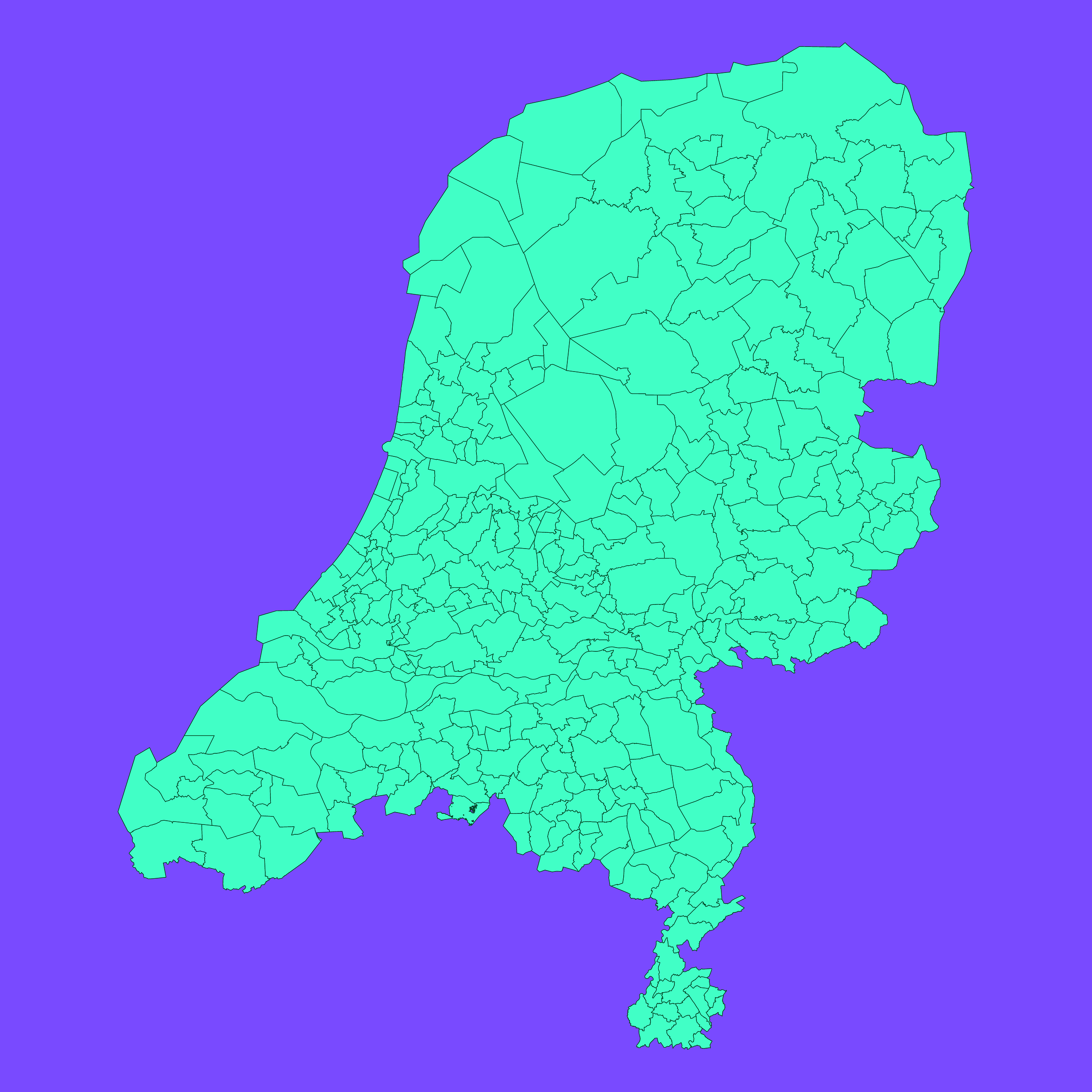
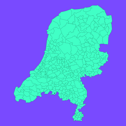
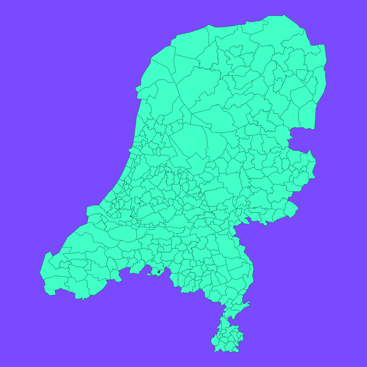
Map #831455
Download map
PNG format
Full (2560x2560)
SVG format
Scalable vector (any size)
Licence
 Licenced under a Creative Commons Attribution 4.0 International Licence
Free to copy and distribute.
Free for commercial and non-commercial use, but you must credit.
Attribution example:
Image source: SuperMap.World
Unlock this map
Access high definition downloads and full-use licence (no attribution required).
Description
Mercator projection map of Netherlands showing municipality boundaries in dim violet and dark emerald
Projection
Location
Data source
Similar

#110979🇳🇱 Netherlands

#140861🇳🇱 Netherlands

#206709🇳🇱 Netherlands

#492740🇳🇱 Netherlands

#552482🇳🇱 Netherlands

#825574🇳🇱 Netherlands

#851176🇳🇱 Netherlands