Map #857335
Download map
PNG format
Full (2560x1590)
SVG format
Scalable vector (any size)
Licence
 Licenced under a Creative Commons Attribution 4.0 International Licence
Free to copy and distribute.
Free for commercial and non-commercial use, but you must credit.
Attribution example:
Image source: SuperMap.World
Unlock this map
Access high definition downloads and full-use licence (no attribution required).
Description
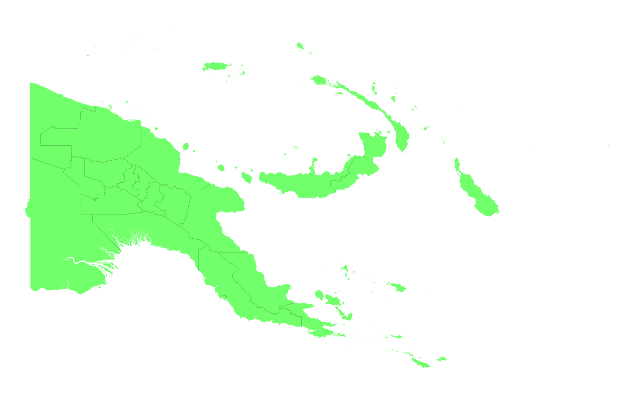
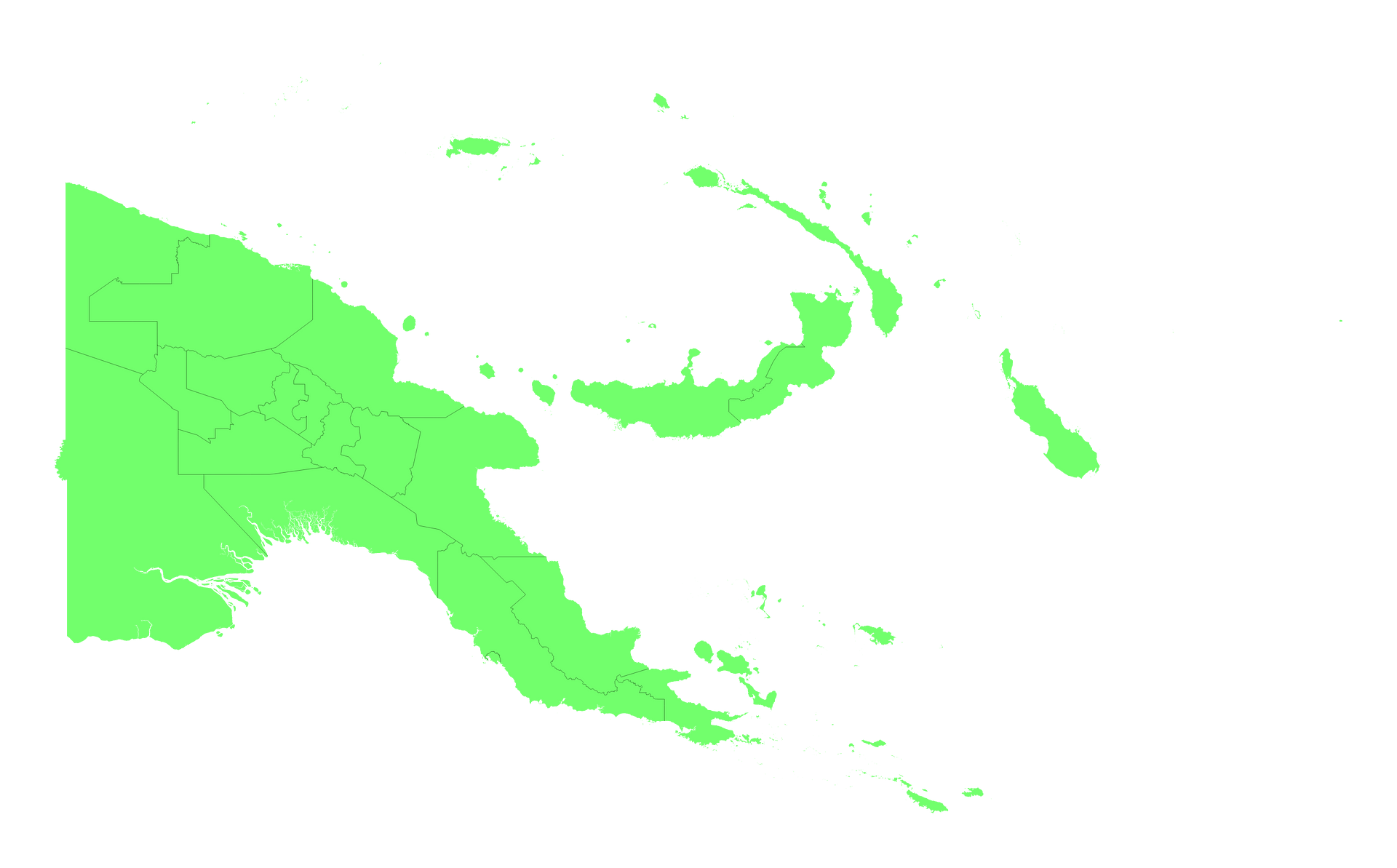
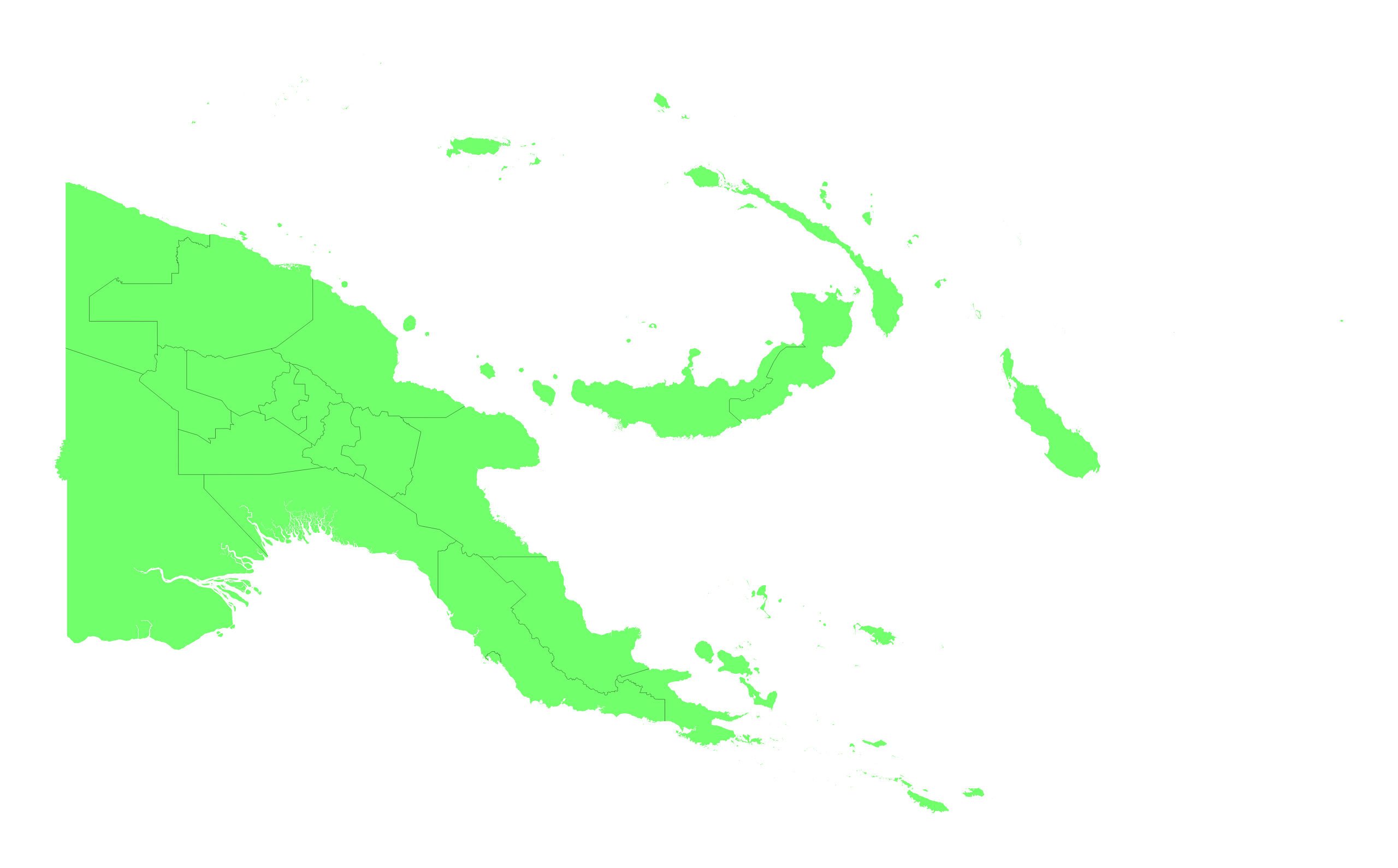
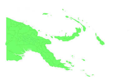
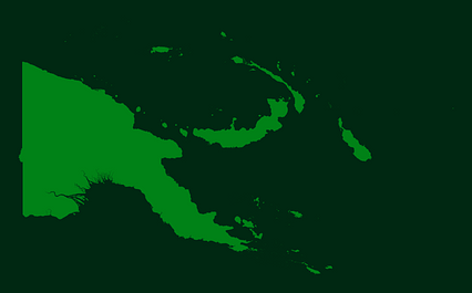
Mercator projection map of Papua New Guinea showing provinces boundaries in pastel green on transparent background
Projection
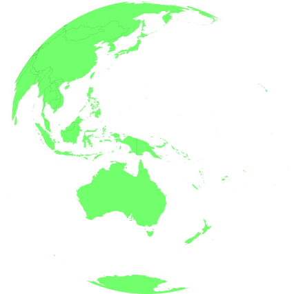
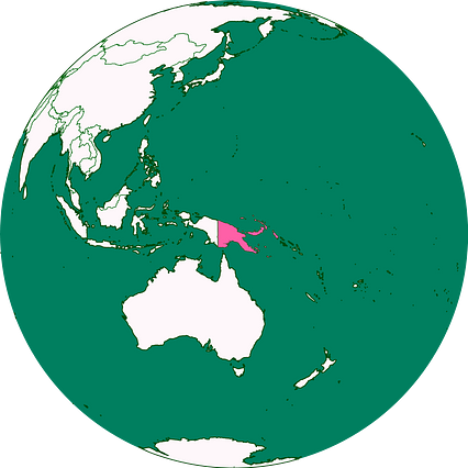
Location
Similar
#133215🇵🇬 Papua New Guinea
#218626🇵🇬 Papua New Guinea
#412113🇵🇬 Papua New Guinea

#710056🇵🇬 Papua New Guinea
#994630🇵🇬 Papua New Guinea