Map #875324
Download map
PNG format
Full (2560x2560)
SVG format
Scalable vector (any size)
Licence
 Licenced under a Creative Commons Attribution 4.0 International Licence
Free to copy and distribute.
Free for commercial and non-commercial use, but you must credit.
Attribution example:
Image source: SuperMap.World
Unlock this map
Access high definition downloads and full-use licence (no attribution required).
Description
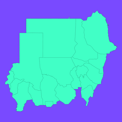
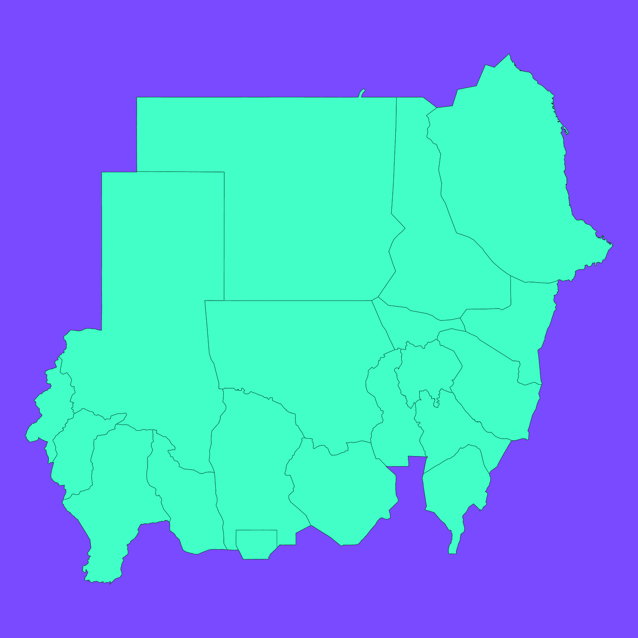
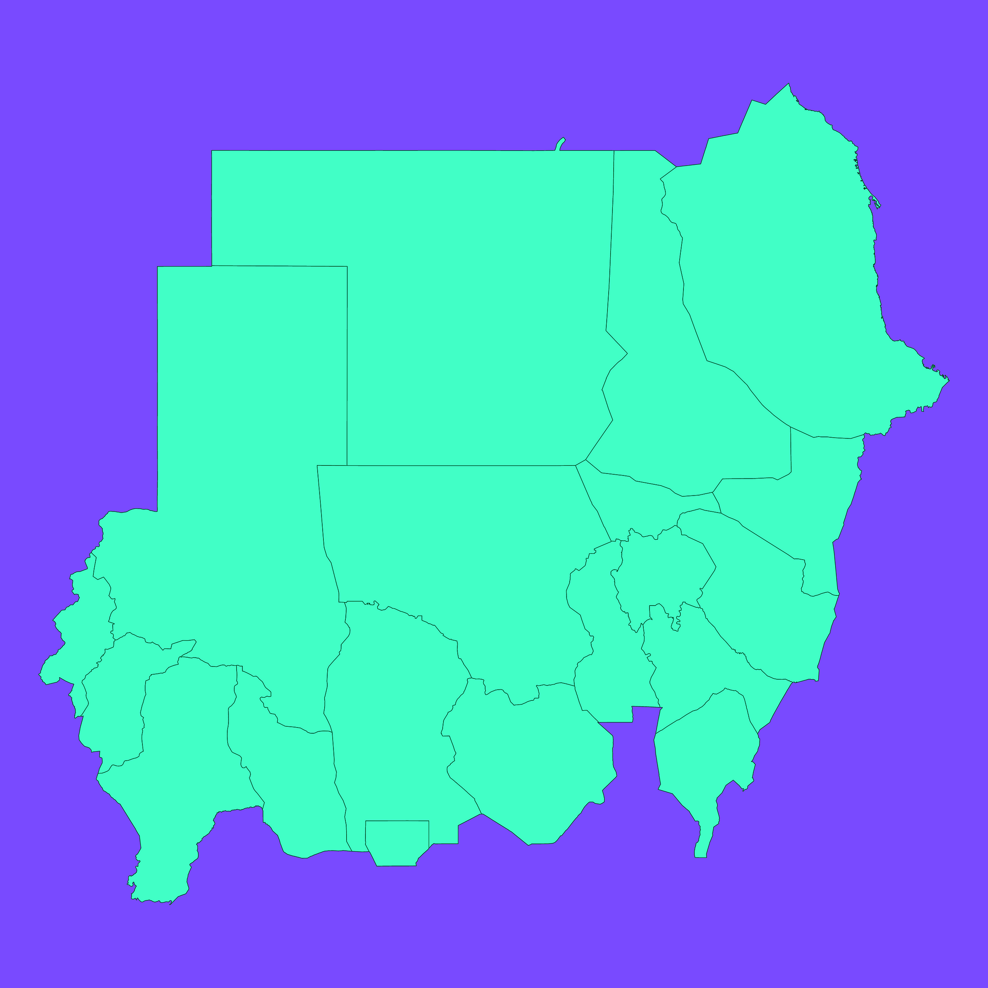
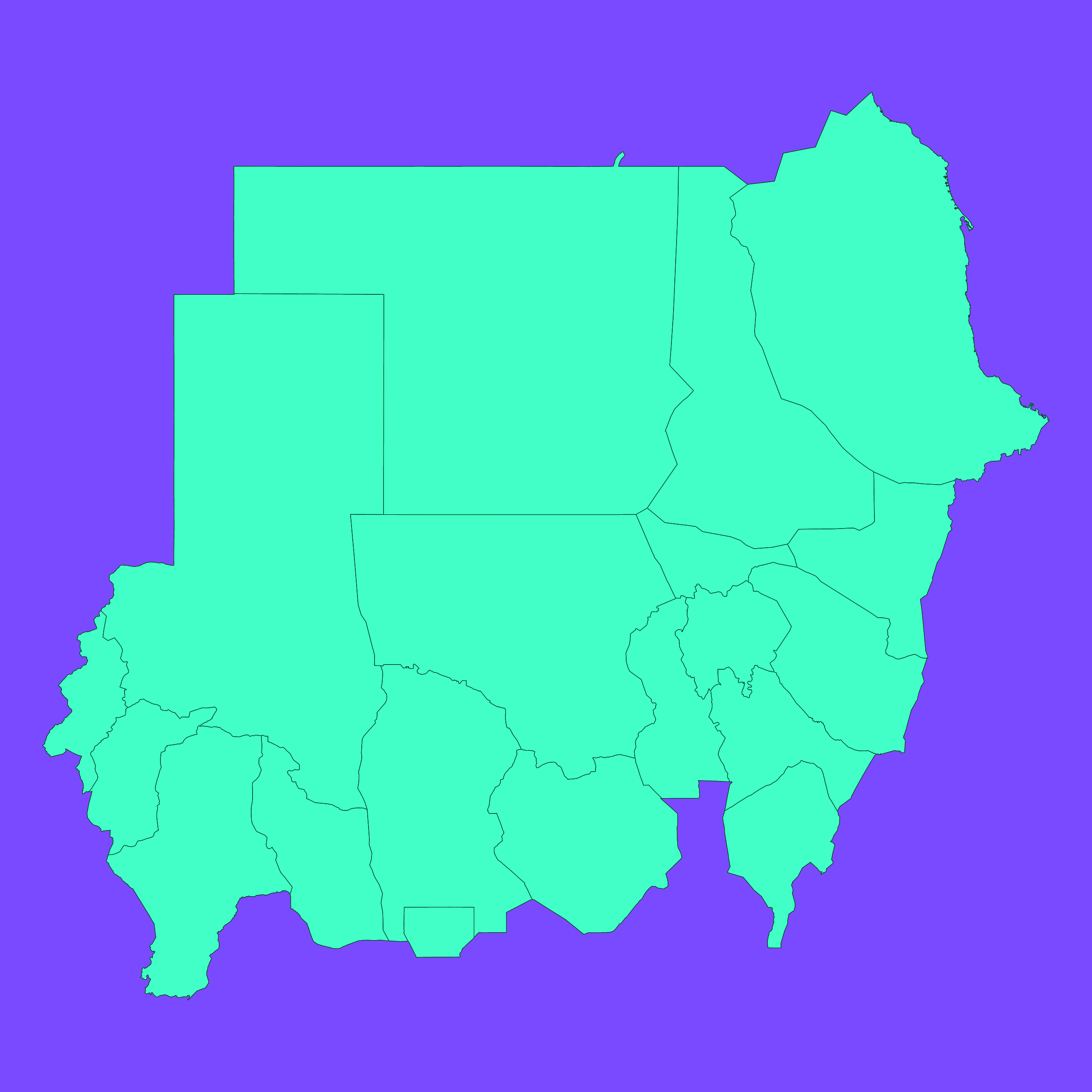
Mercator projection map of Sudan showing wilayat/state boundaries in dim violet and dark emerald
Projection
Location
Similar

#221036🇸🇩 Sudan

#230339🇸🇩 Sudan

#495327🇸🇩 Sudan

#515398🇸🇩 Sudan

#531146🇸🇩 Sudan

#543195🇸🇩 Sudan

#644544🇸🇩 Sudan

#705544🇸🇩 Sudan