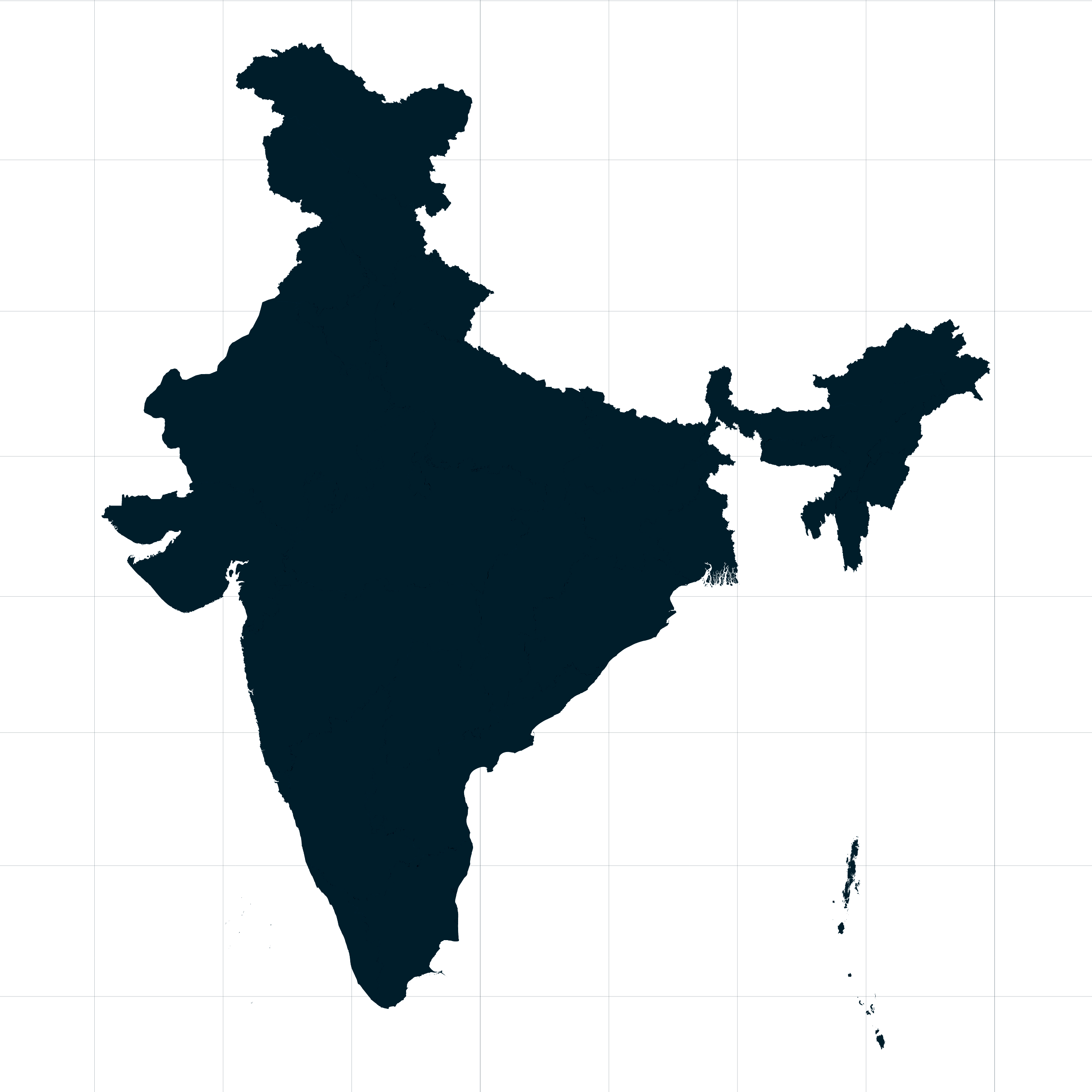
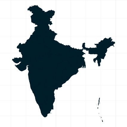
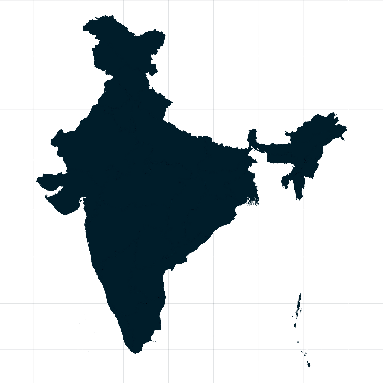
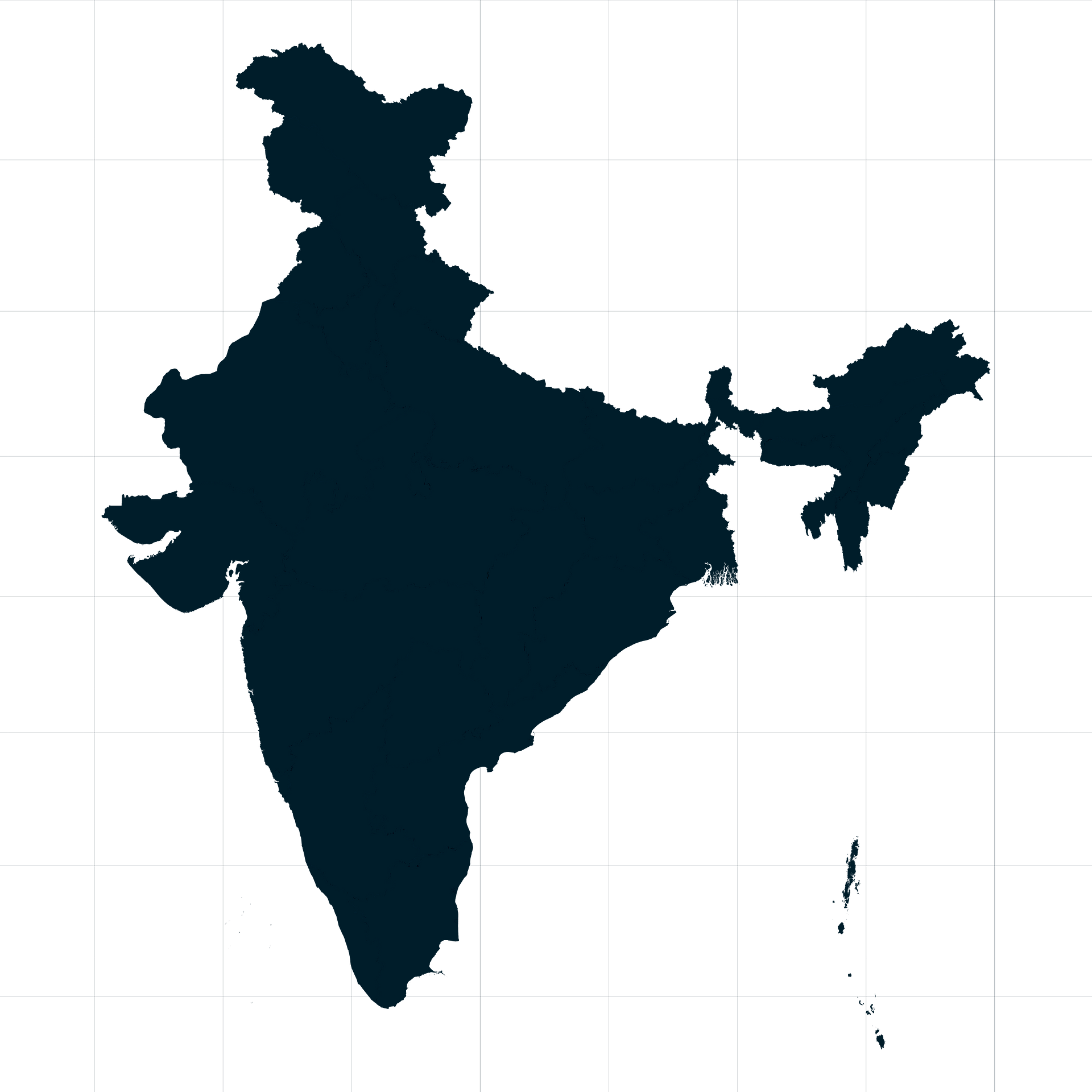
Map #888832
Download map
PNG format
Full (2560x2560)
SVG format
Scalable vector (any size)
Licence
 Licenced under a Creative Commons Attribution 4.0 International Licence
Free to copy and distribute.
Free for commercial and non-commercial use, but you must credit.
Attribution example:
Image source: SuperMap.World
Unlock this map
Access high definition downloads and full-use licence (no attribution required).
Description
Mercator projection map of India showing state / union territory boundaries in night cerulean on transparent background
Projection
Location
Similar

#24363🇮🇳 India

#31144🇮🇳 India

#112602🇮🇳 India

#198140🇮🇳 India

#202649🇮🇳 India

#314609🇮🇳 India

#324396🇮🇳 India

#338817🇮🇳 India