
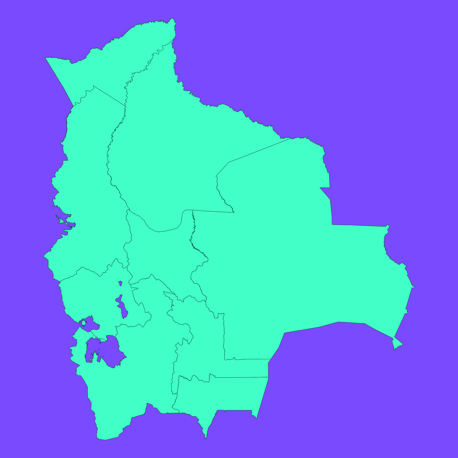
Map #901741
Download map
PNG format
Full (2560x2560)
SVG format
Scalable vector (any size)
Licence
 Licenced under a Creative Commons Attribution 4.0 International Licence
Free to copy and distribute.
Free for commercial and non-commercial use, but you must credit.
Attribution example:
Image source: SuperMap.World
Unlock this map
Access high definition downloads and full-use licence (no attribution required).
Description
Mercator projection map of Bolivia (Plurinational State of) showing boundaries in dim violet and dark emerald
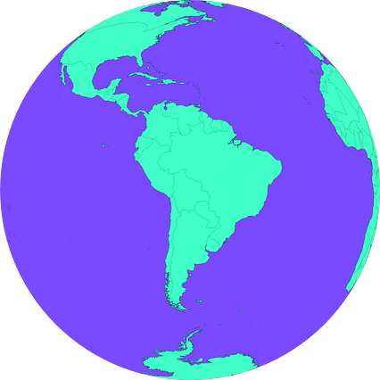
Projection
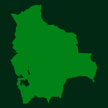
Location
Similar
#526648🇧🇴 Bolivia

#756328🇧🇴 Bolivia

#794594🇧🇴 Bolivia

#804826🇧🇴 Bolivia

#878957🇧🇴 Bolivia
#905610🇧🇴 Bolivia