
Map #904417
Download map
PNG format
Full (2560x1969)
SVG format
Scalable vector (any size)
Licence
 Licenced under a Creative Commons Attribution 4.0 International Licence
Free to copy and distribute.
Free for commercial and non-commercial use, but you must credit.
Attribution example:
Image source: SuperMap.World
Unlock this map
Access high definition downloads and full-use licence (no attribution required).
Description
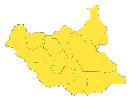
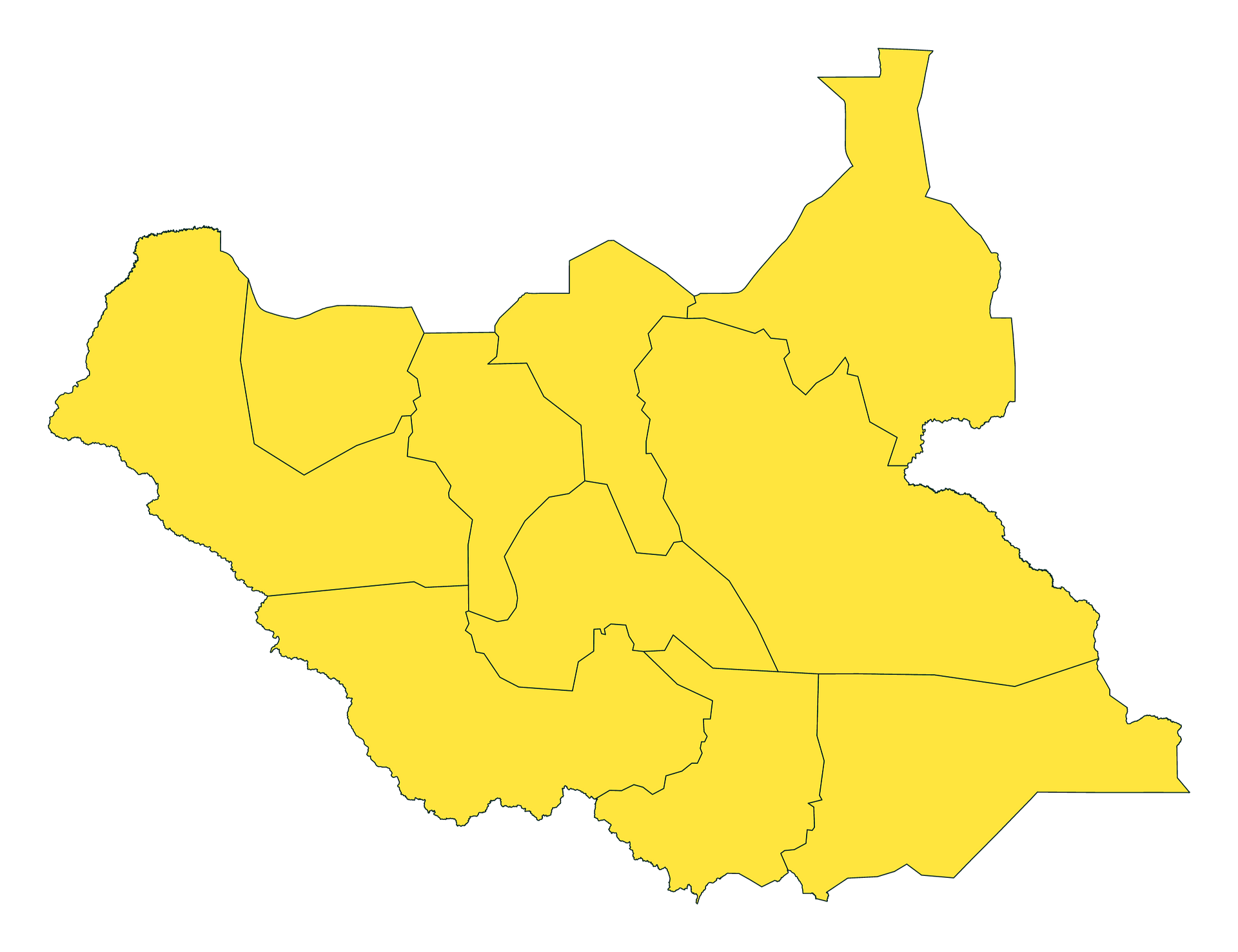
Mercator projection map of South Sudan showing states boundaries in night teal on transparent background
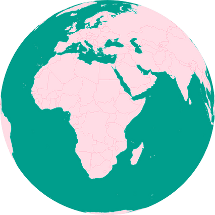
Projection
Location
Similar

#5080🇸🇸 South Sudan

#52354🇸🇸 South Sudan

#82721🇸🇸 South Sudan

#107382🇸🇸 South Sudan

#109888🇸🇸 South Sudan
#546221🇸🇸 South Sudan

#572961🇸🇸 South Sudan

#675044🇸🇸 South Sudan