Map #906250
Download map
PNG format
Full (2560x2560)
SVG format
Scalable vector (any size)
Licence
 Licenced under a Creative Commons Attribution 4.0 International Licence
Free to copy and distribute.
Free for commercial and non-commercial use, but you must credit.
Attribution example:
Image source: SuperMap.World
Unlock this map
Access high definition downloads and full-use licence (no attribution required).
Description
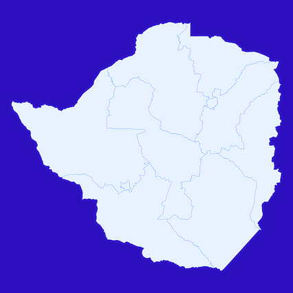
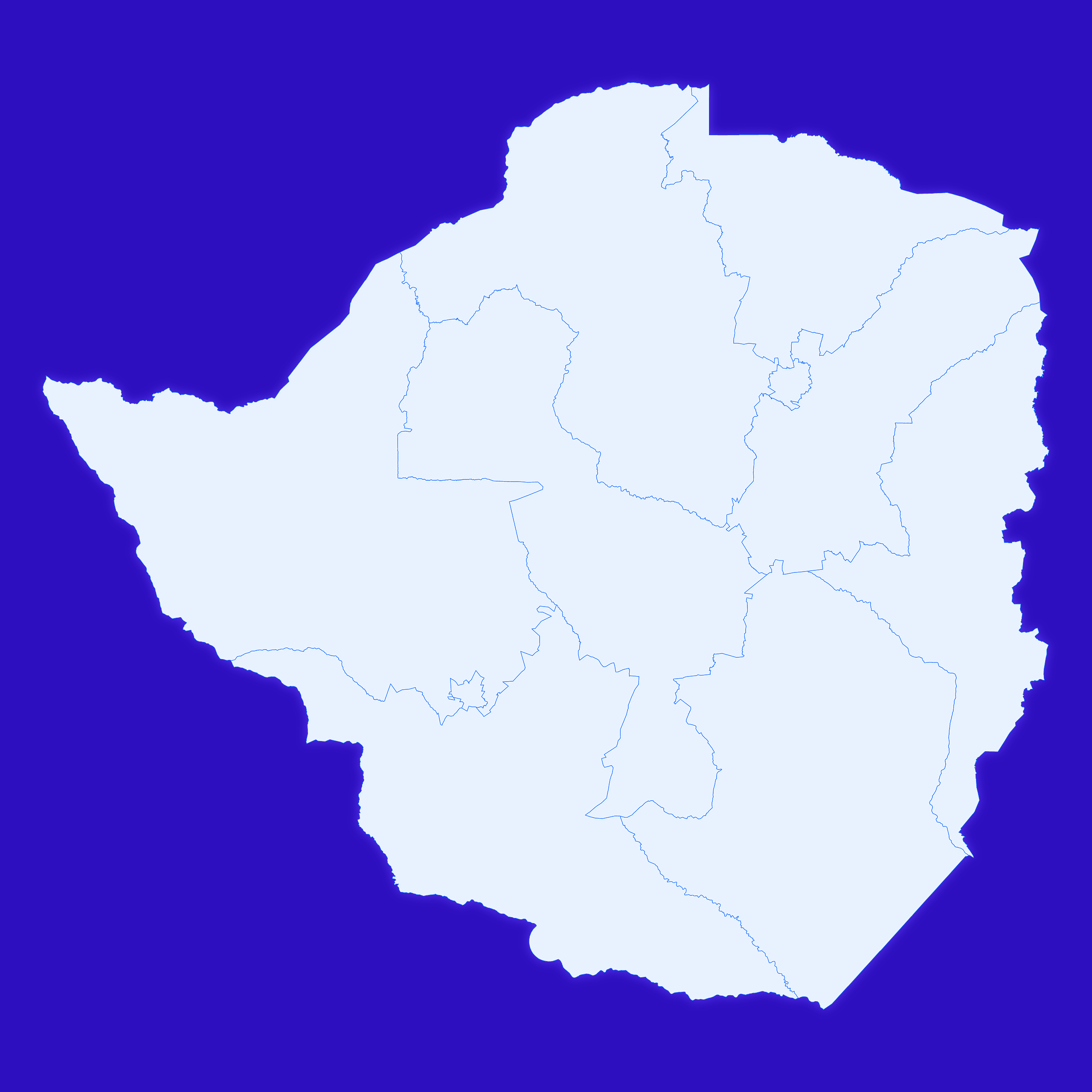
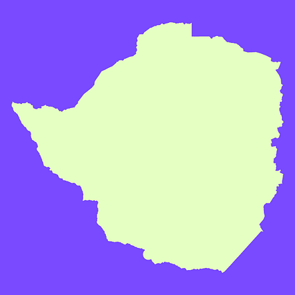
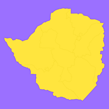
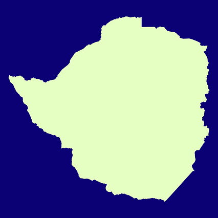
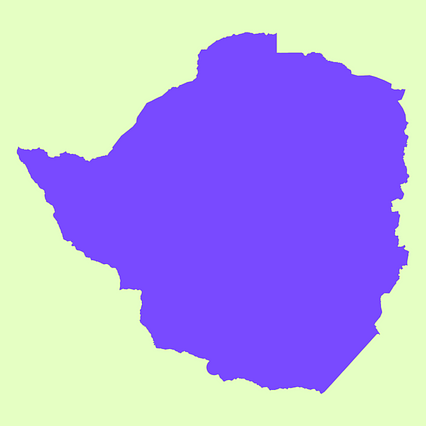
Mercator projection map of Zimbabwe showing province boundaries in whitened-azure and dim indigo
Projection
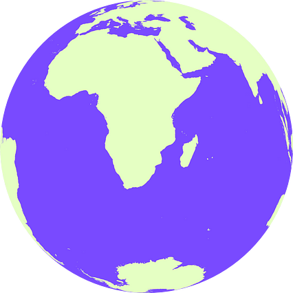
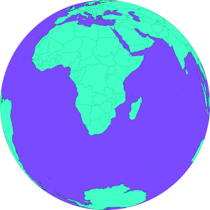
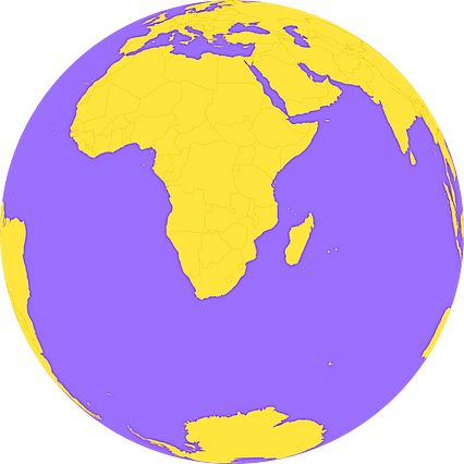
Location
Similar
#31377🇿🇼 Zimbabwe
#59746🇿🇼 Zimbabwe
#60657🇿🇼 Zimbabwe
#100441🇿🇼 Zimbabwe
#116507🇿🇼 Zimbabwe
#165294🇿🇼 Zimbabwe
#249696🇿🇼 Zimbabwe
#341282🇿🇼 Zimbabwe