
Map #921800
Download map
PNG format
Full (2560x1803)
SVG format
Scalable vector (any size)
Licence
 Licenced under a Creative Commons Attribution 4.0 International Licence
Free to copy and distribute.
Free for commercial and non-commercial use, but you must credit.
Attribution example:
Image source: SuperMap.World
Unlock this map
Access high definition downloads and full-use licence (no attribution required).
Description
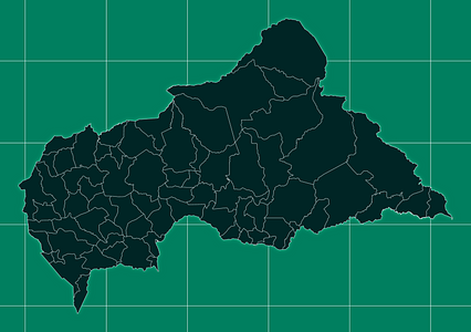
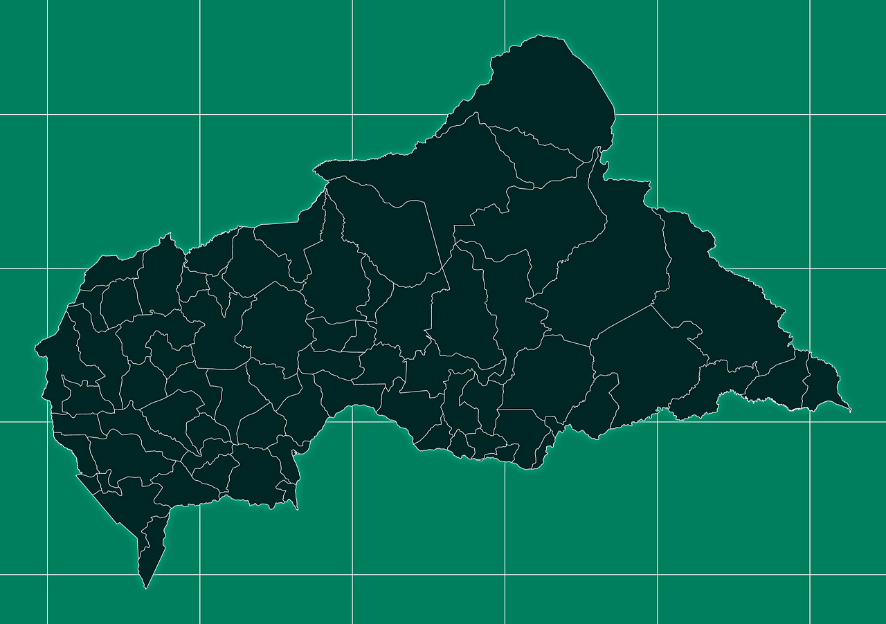
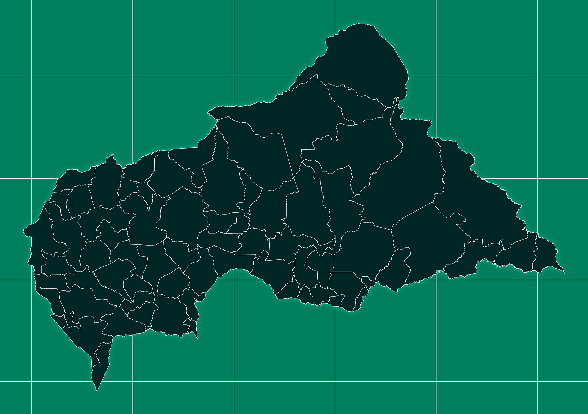
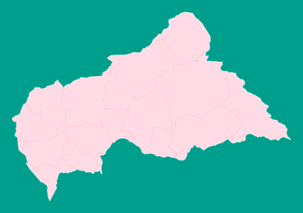
Mercator projection map of Central African Republic in night cyan and whitened-rose
Projection
Location
Data source
Similar

#5653🇨🇫 Central African Republic

#51136🇨🇫 Central African Republic

#106839🇨🇫 Central African Republic
#332457🇨🇫 Central African Republic

#458719🇨🇫 Central African Republic

#470107🇨🇫 Central African Republic

#484299🇨🇫 Central African Republic

#978109🇨🇫 Central African Republic