
Map #940983
Download map
PNG format
Full (2560x2560)
SVG format
Scalable vector (any size)
Licence
 Licenced under a Creative Commons Attribution 4.0 International Licence
Free to copy and distribute.
Free for commercial and non-commercial use, but you must credit.
Attribution example:
Image source: SuperMap.World
Unlock this map
Access high definition downloads and full-use licence (no attribution required).
Description
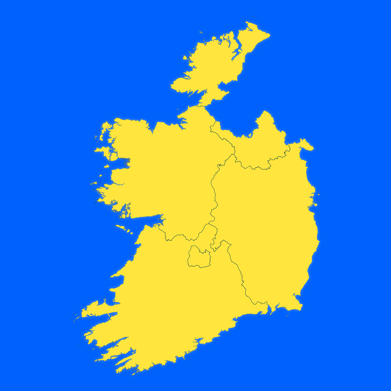
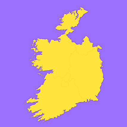
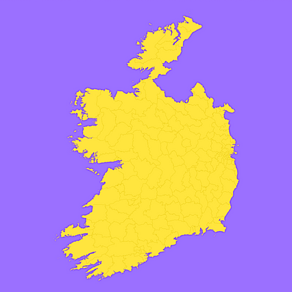
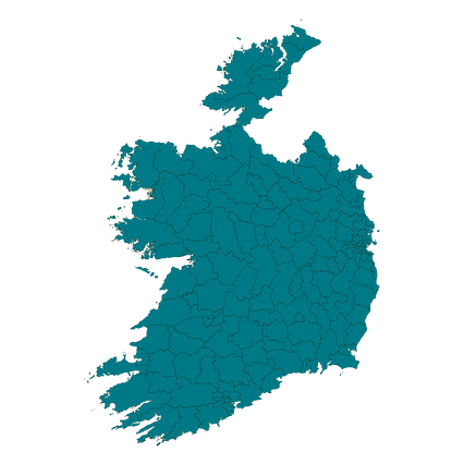
Mercator projection map of Ireland showing province boundaries in night azure and dim indigo
Projection
Location
Data source
Similar
#89237🇮🇪 Ireland
#257924🇮🇪 Ireland
#267632🇮🇪 Ireland
#487364🇮🇪 Ireland
#634270🇮🇪 Ireland
#690693🇮🇪 Ireland

#718979🇮🇪 Ireland
#845046🇮🇪 Ireland