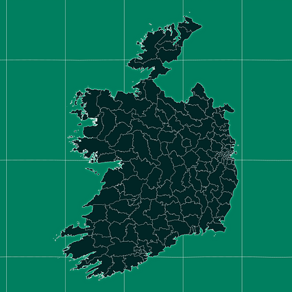
Map #962362
Download map
PNG format
Full (2560x2560)
SVG format
Scalable vector (any size)
Licence
 Licenced under a Creative Commons Attribution 4.0 International Licence
Free to copy and distribute.
Free for commercial and non-commercial use, but you must credit.
Attribution example:
Image source: SuperMap.World
Unlock this map
Access high definition downloads and full-use licence (no attribution required).
Description
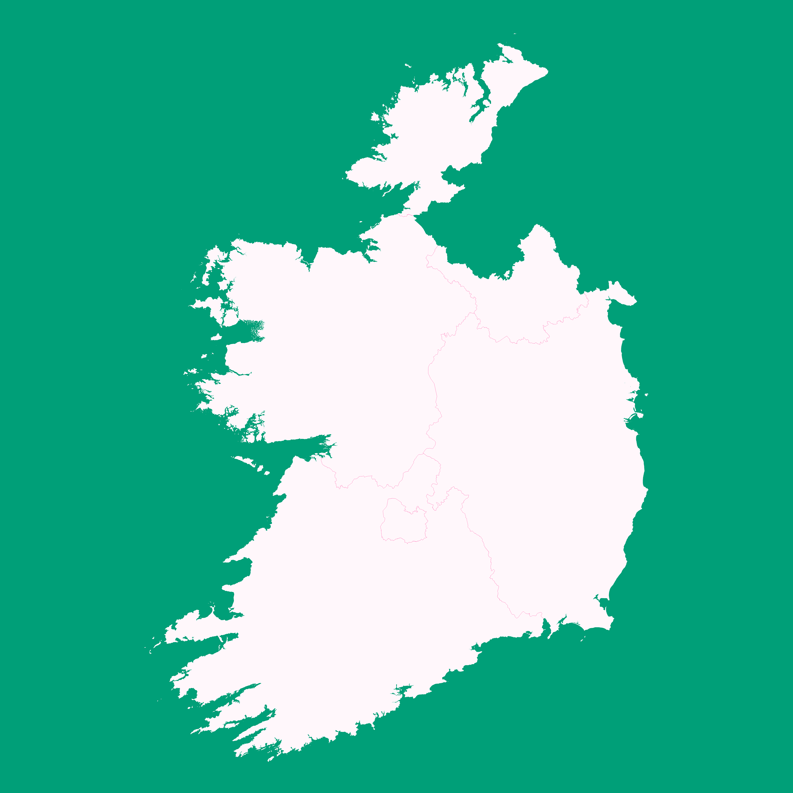
Mercator projection map of Ireland showing province boundaries in whitened-pink and aquamarine
Projection
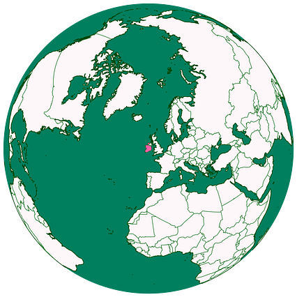
Location
Data source
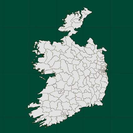
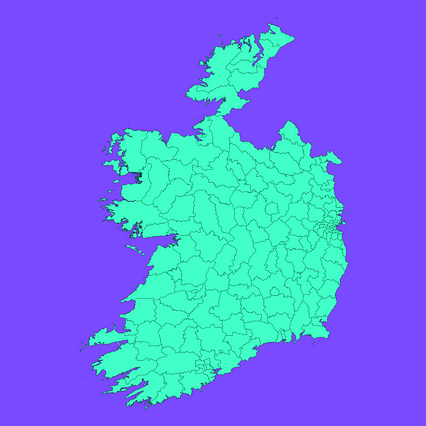
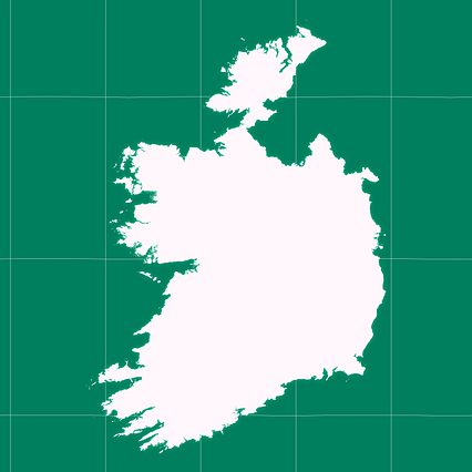
Similar

#26730🇮🇪 Ireland

#83172🇮🇪 Ireland
#257924🇮🇪 Ireland
#456775🇮🇪 Ireland
#496781🇮🇪 Ireland
#735914🇮🇪 Ireland
#930678🇮🇪 Ireland