
Map #974309
Download map
PNG format
Full (2560x2560)
SVG format
Scalable vector (any size)
Licence
Licenced under a Open Data Commons Open Database License 1.0
- Free to copy and distribute
- Free for commercial and non-commercial use, but you must credit (Image: SuperMap.World, Data: geoBoundaries, Open Africa, Code for Ethiopia)
- Share-alike: if you publicly use any adapted version you must also offer that adapted work under the same licence
Unlock this map
Access high definition downloads and full-use licence (no attribution required).
Description
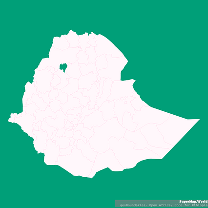
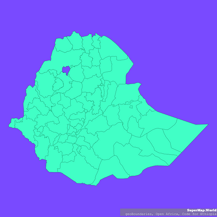
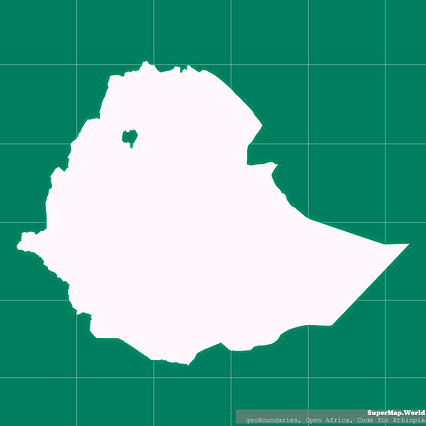
Mercator projection map of Ethiopia showing boundaries in whitened-pink and aquamarine
Projection
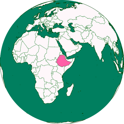
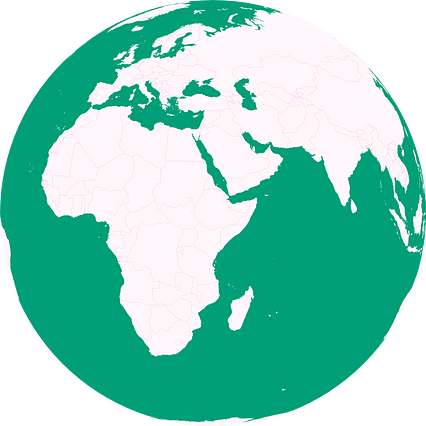
Location
Data source
Licence
Open Data Commons Open Database License 1.0
Similar
#8319🇪🇹 Ethiopia
#68351🇪🇹 Ethiopia
#142017🇪🇹 Ethiopia
#200757🇪🇹 Ethiopia
#205459🇪🇹 Ethiopia
#239397🇪🇹 Ethiopia

#334206🇪🇹 Ethiopia
#363450🇪🇹 Ethiopia