Map #975592

Description

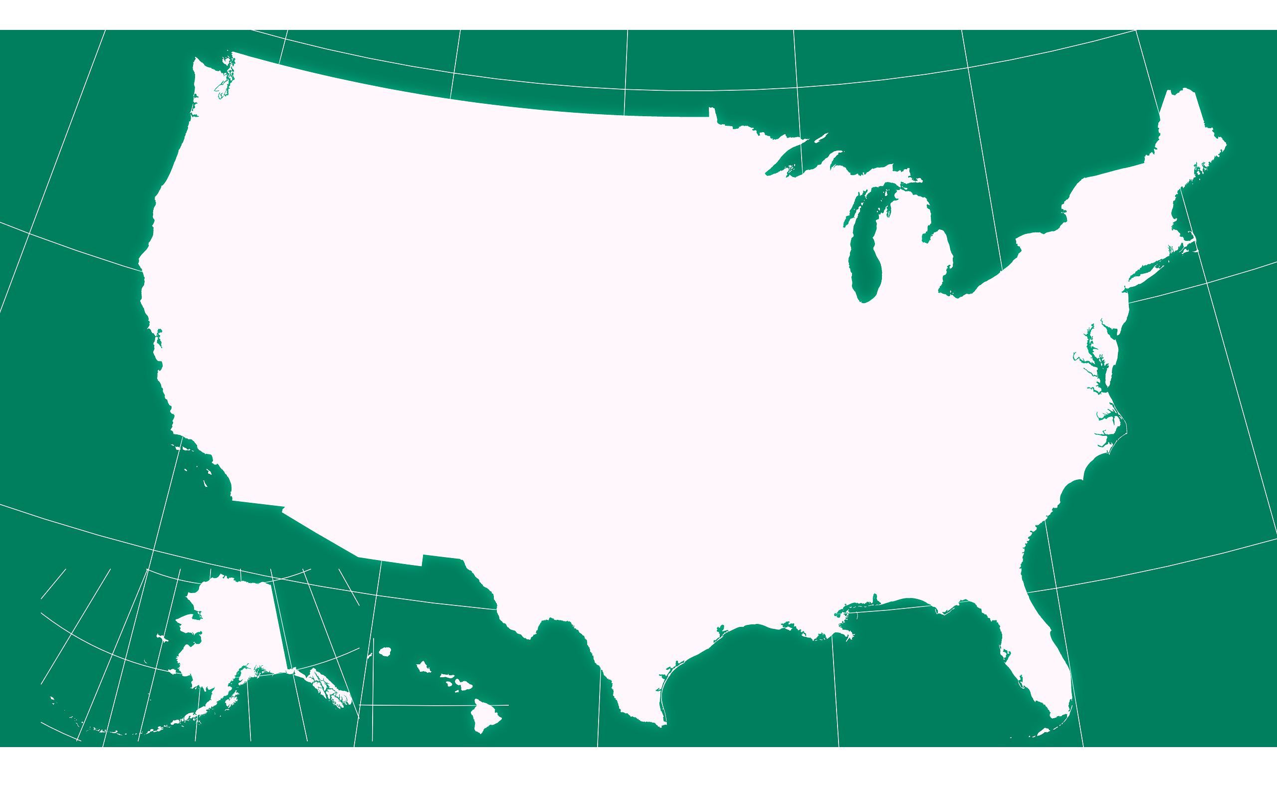
Albers Usa projection map of United States of America in whitened-pink and dim aquamarine

Colours

Projection

Albers Usa

Location

United States

Data source

geoBoundaries, United States Census Bureau, MAF/TIGER Database


Similar

Orthographic projection map of the World focused on United States in night cyan and whitened-rose

#69398πŸ‡ΊπŸ‡Έ United States

Orthographic projection map of the World focused on United States in light gray and kassel-earth

#171648πŸ‡ΊπŸ‡Έ United States

Albers Usa projection map of United States of America showing states boundaries in dim violet and dark emerald

#260647πŸ‡ΊπŸ‡Έ United States

Albers Usa projection map of United States of America showing counties boundaries in whitened-pink and aquamarine

#376349πŸ‡ΊπŸ‡Έ United States

Albers Usa projection map of United States of America in night cyan and whitened-rose

#421958πŸ‡ΊπŸ‡Έ United States

Orthographic projection map of the World focused on United States in dim violet and dark emerald

#645888πŸ‡ΊπŸ‡Έ United States

Orthographic projection map of the World focused on United States in whitened-pink and dim aquamarine

#699760πŸ‡ΊπŸ‡Έ United States

Albers Usa projection map of United States of America showing counties boundaries in dim violet and dark emerald

#714275πŸ‡ΊπŸ‡Έ United States