
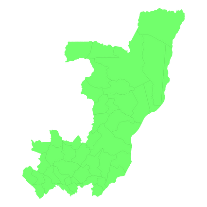
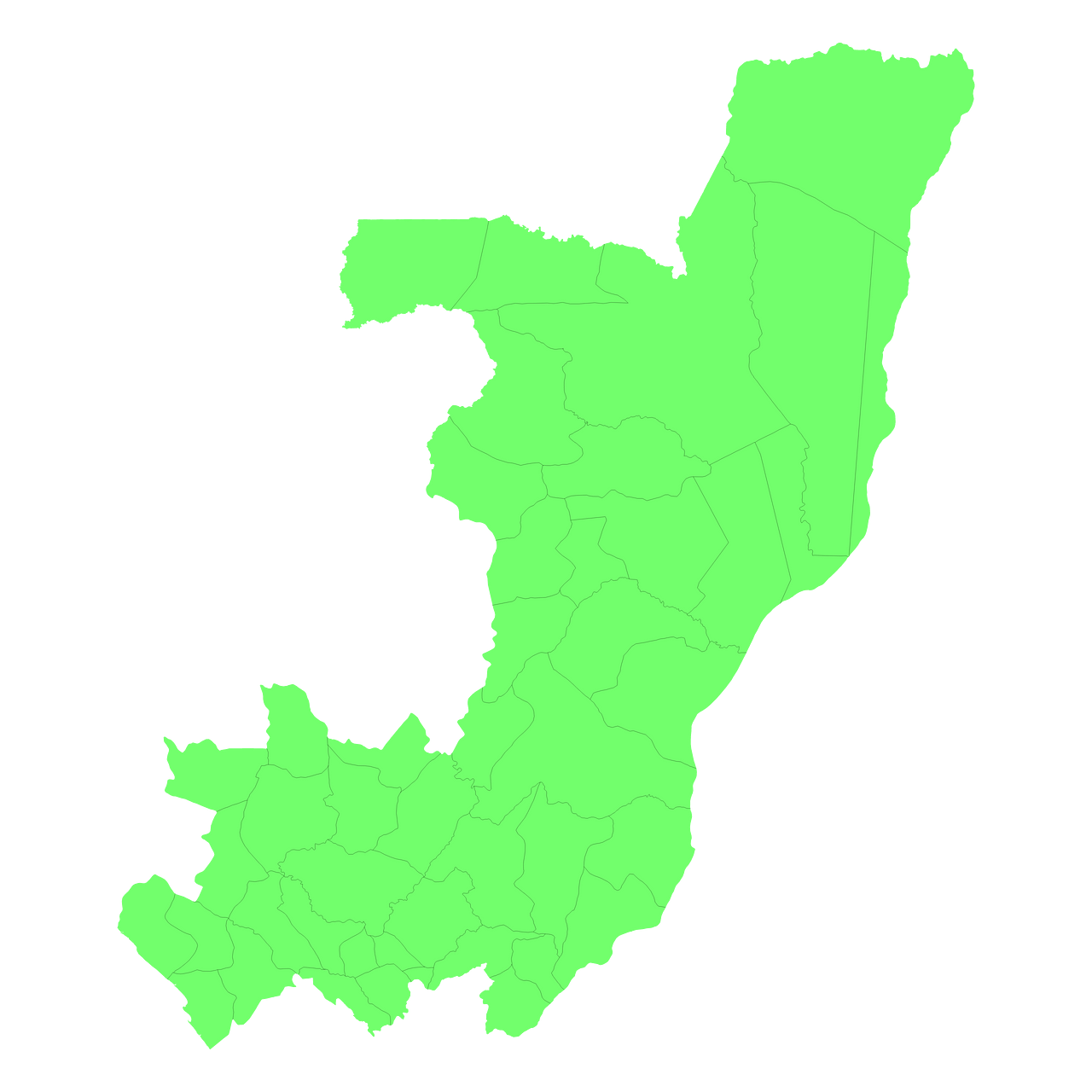
Map #980026
Download map
PNG format
Full (2560x2560)
SVG format
Scalable vector (any size)
Licence
 Licenced under a Creative Commons Attribution 4.0 International Licence
Free to copy and distribute.
Free for commercial and non-commercial use, but you must credit.
Attribution example:
Image source: SuperMap.World
Unlock this map
Access high definition downloads and full-use licence (no attribution required).
Description
Mercator projection map of Congo showing boundaries in pastel green on transparent background
Projection
Location
Similar

#27207🇨🇩 Congo (Dem. Rep.)

#67522🇨🇩 Congo (Dem. Rep.)

#201000🇨🇬 Congo

#407240🇨🇩 Congo (Dem. Rep.)

#410110🇨🇬 Congo

#526947🇨🇩 Congo (Dem. Rep.)

#596289🇨🇬 Congo

#651971🇨🇬 Congo