
Map #192488
Download map
PNG format
Full (2560x2560)
SVG format
Scalable vector (any size)
Licence
 Licenced under a Creative Commons Attribution 4.0 International Licence
Free to copy and distribute.
Free for commercial and non-commercial use, but you must credit.
Attribution example:
Image source: SuperMap.World
Unlock this map
Access high definition downloads and full-use licence (no attribution required).
Description
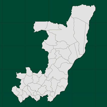
Mercator projection map of Congo in light gray and kassel-earth
Projection
Location
Similar

#7009🇨🇬 Congo

#7010🇨🇬 Congo

#21611🇨🇬 Congo

#31856🇨🇬 Congo

#86595🇨🇩 Congo (Dem. Rep.)

#136116🇨🇬 Congo

#180340🇨🇬 Congo

#181944🇨🇩 Congo (Dem. Rep.)