
Map #20327
Download map
PNG format
Full (2560x2560)
SVG format
Scalable vector (any size)
Licence
 Licenced under a Creative Commons Attribution 4.0 International Licence
Free to copy and distribute.
Free for commercial and non-commercial use, but you must credit.
Attribution example:
Image source: SuperMap.World
Unlock this map
Access high definition downloads and full-use licence (no attribution required).
Description
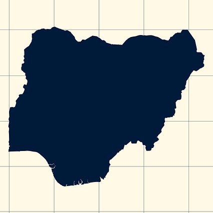
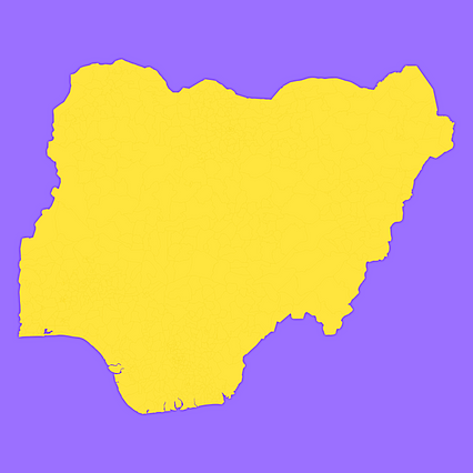
Mercator projection map of Nigeria showing state boundaries in night blue and whitened-beige
Projection
Location
Data source
Similar
#40067🇳🇬 Nigeria

#75145🇳🇬 Nigeria

#164951🇳🇬 Nigeria

#243363🇳🇬 Nigeria

#244755🇳🇬 Nigeria

#311159🇳🇬 Nigeria

#333410🇳🇬 Nigeria

#395673🇳🇬 Nigeria