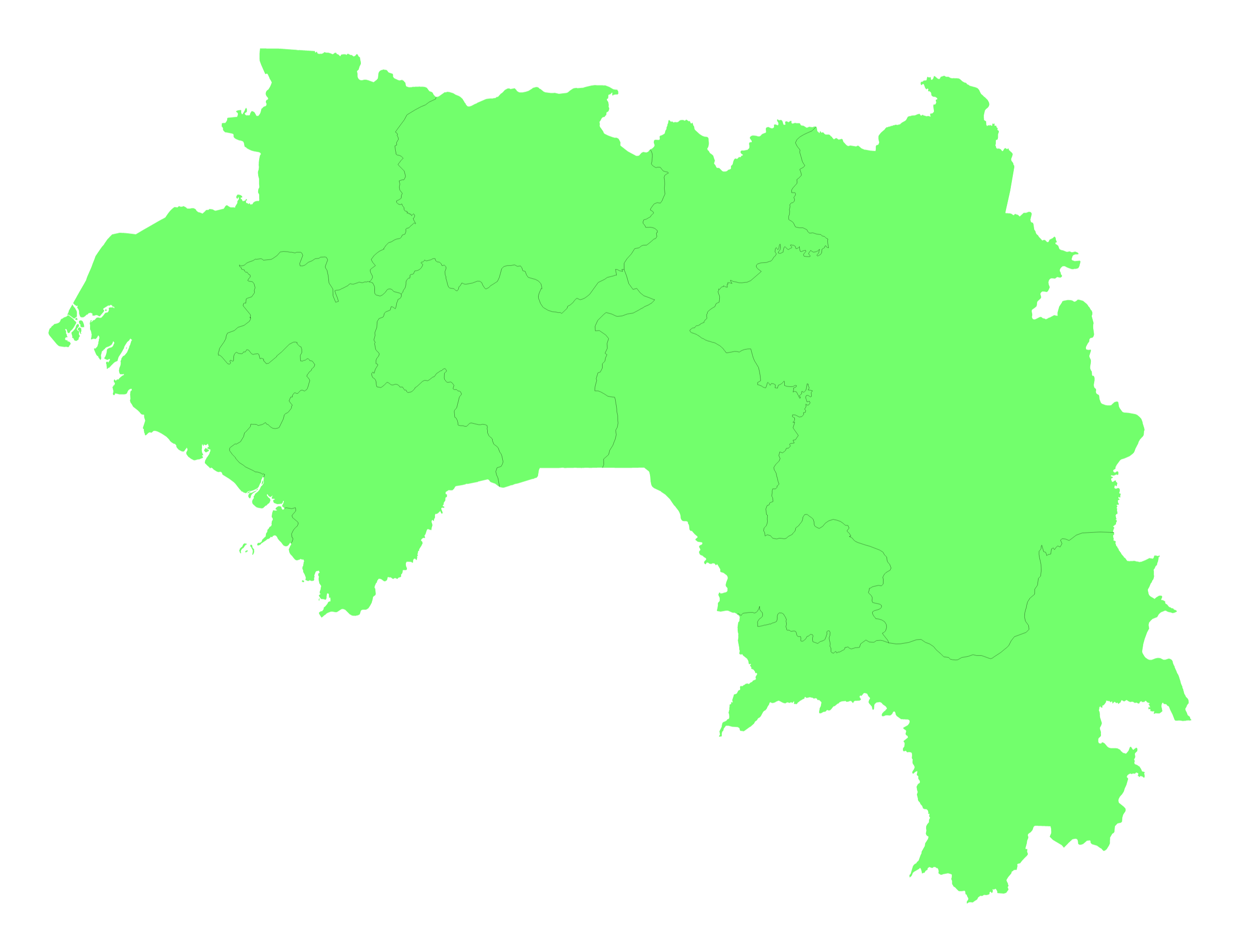
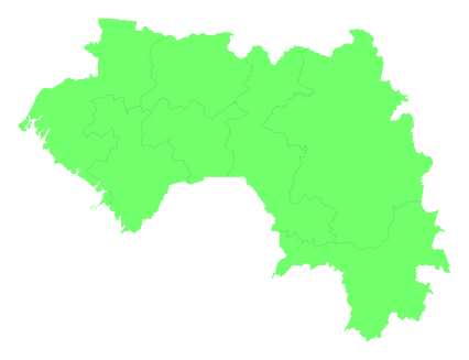
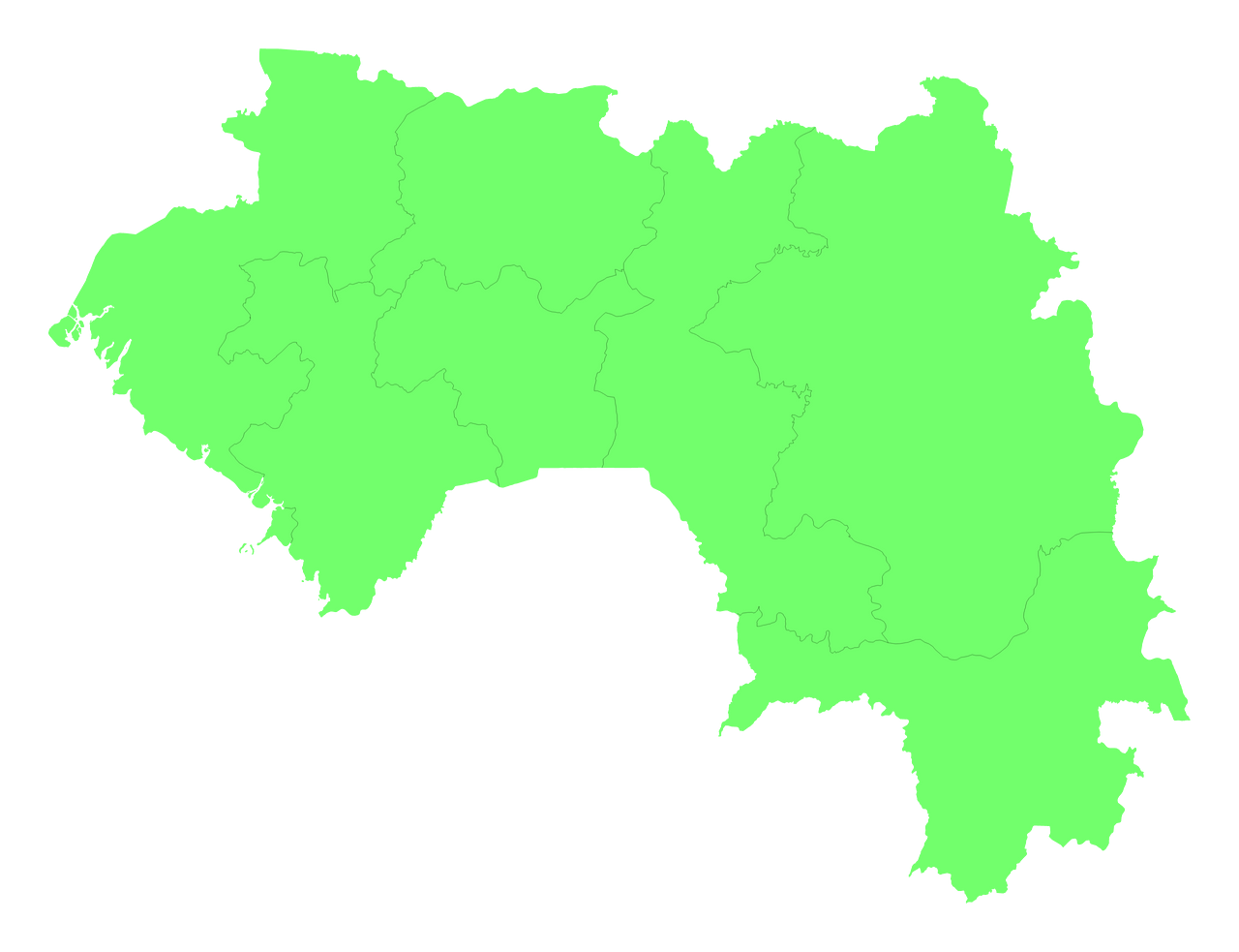
Map #20871
Download map
PNG format
Full (2560x1965)
SVG format
Scalable vector (any size)
Licence
 Licenced under a Creative Commons Attribution 4.0 International Licence
Free to copy and distribute.
Free for commercial and non-commercial use, but you must credit.
Attribution example:
Image source: SuperMap.World
Unlock this map
Access high definition downloads and full-use licence (no attribution required).
Description
Mercator projection map of Guinea showing administrative regions and governate boundaries in pastel green on transparent background
Projection
Location
Data source
Similar
#277580🇬🇳 Guinea

#433163🇬🇳 Guinea

#444839🇬🇼 Guinea-Bissau

#453686🇬🇼 Guinea-Bissau

#707999🇬🇼 Guinea-Bissau

#852607🇬🇳 Guinea

#936971🇬🇼 Guinea-Bissau

#945691🇬🇳 Guinea