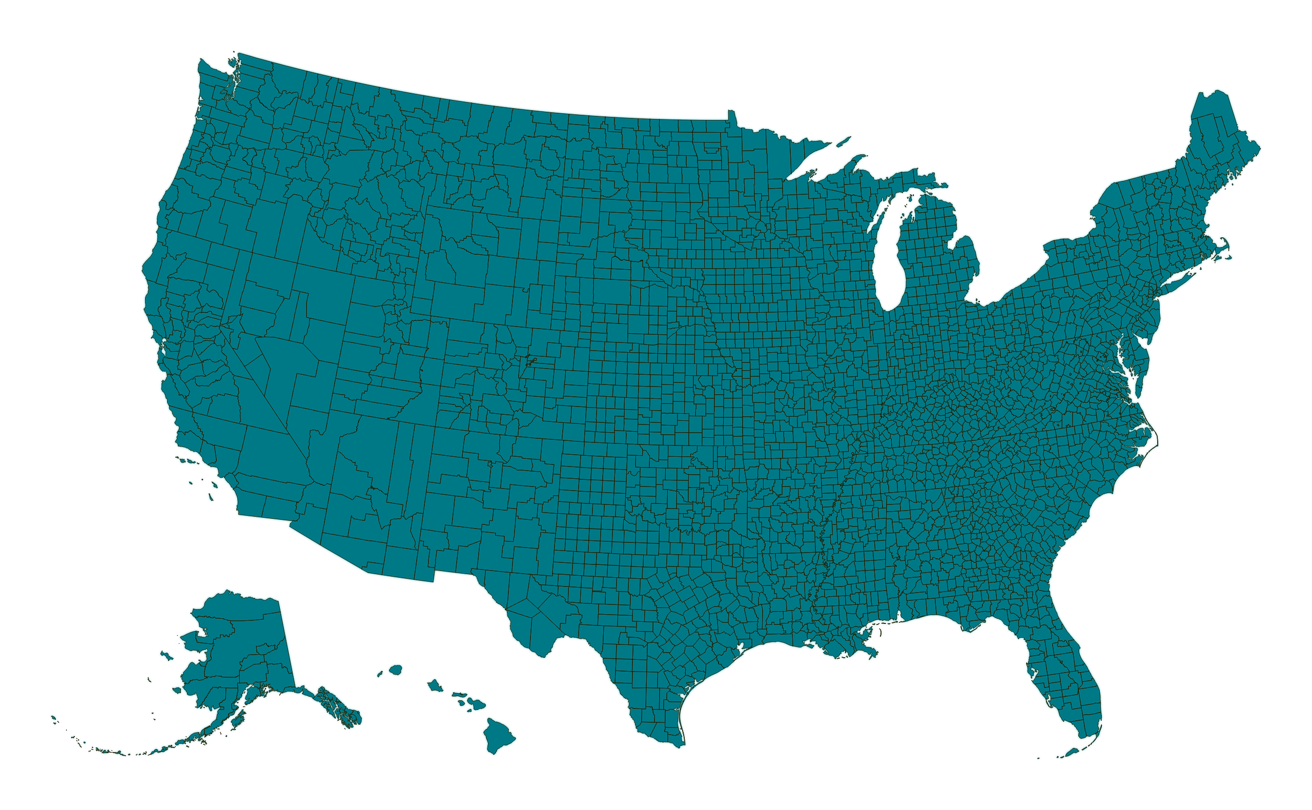
Map #323694

Description

Albers Usa projection map of United States of America in dim powder on transparent background

Colours

Projection

Albers Usa

Location

United States

Data source

geoBoundaries, United States Census Bureau, MAF/TIGER Database


Similar

Orthographic projection map of the World focused on United States in night blue and whitened-beige

#10983πŸ‡ΊπŸ‡Έ United States

Albers Usa projection map of United States of America showing counties boundaries in night blue and whitened-beige

#34185πŸ‡ΊπŸ‡Έ United States

Albers Usa projection map of United States of America showing states boundaries in night blue and whitened-beige

#95102πŸ‡ΊπŸ‡Έ United States

Albers Usa projection map of United States of America showing counties boundaries in violet and maize-yellow

#157305πŸ‡ΊπŸ‡Έ United States

Orthographic projection map of the World focused on United States in light gray and kassel-earth

#171648πŸ‡ΊπŸ‡Έ United States

Orthographic projection map of the World focused on United States in violet and maize-yellow

#260285πŸ‡ΊπŸ‡Έ United States

Albers Usa projection map of United States of America showing states boundaries in night teal on transparent background

#374467πŸ‡ΊπŸ‡Έ United States

Albers Usa projection map of United States of America in dark amber on transparent background

#514619πŸ‡ΊπŸ‡Έ United States